
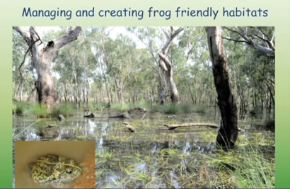
The theme of the next FOBIF photo exhibition is Trees in the Mount Alexander Region.
TOGS in Castlemaine will host the exhibition in March 2016 and later in the year the Newstead Railway Arts Hub has kindly agreed host the same exhibition. Photos will be for sale to cover fobif costs.
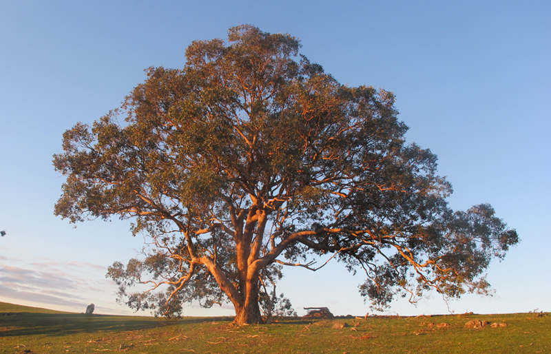
Red Box (E. polyanthemos) Photo by Bernard Slattery, Faraday Hill, 31 August 2015
So if you have any favourite photos of local trees send them along to FOBIF (info@fobif.org.au). There is also plenty of time to take new photos: the closing date for the submission of photos is not till 31 January 2016.
We will place all photos we receive in a designated album on the FOBIF Flickr site as long as they fall within the guidelines. A FOBIF sub-committee will then select approximately 18 photos to be printed and framed in the two exhibitions.
If your photo is selected, as well as being included in the above two exhibitions you will receive a free mounted copy of your photo at the close of the second exhibition.
Guidelines
- Photo to include local indigenous tree/s within the Mount Alexander Region.
- A small file size is fine for Flickr but the photo will need to be at least 3 mg to be printed and included in the exhibitions. (At this stage only send files under 1mg)
- The tree/s need to be identified (we may be able to help with this) as well as the photo location and date.
- Photos can be closeups (bark, leaves, etc), individual trees, landscapes with trees as well as photos where flora and fauna associated with trees are the main feature.
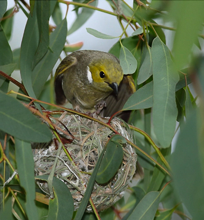
White-plumed Honeyeater at partially built nest in River Red Gum, Loddon River. Photo by Geoff Park, 29 December 2014
We have already set up the Trees In Mount Alexander Flickr album so you can get an idea of the range of photos that fall within the guidelines.
Contact Bronwyn Silver at info@fobif.org.au or 54751089 for further information.
![Magenta storksbill [Pelargonium rodneyanum]: it flowers valiantly when other plants are hunkered down.](https://www.fobif.org.au/admin/wp-content/uploads/2015/12/IMG_3351-800x534.jpg)


 Click on image for info/order page
 Click on image for info/order page
 Click on image for info/order page

")


")


