
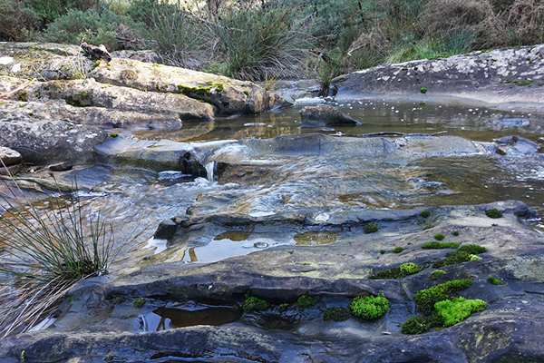
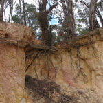
There are many sites around the Castlemaine area where 19th Century gold miners have removed all traces of soil in a process called ‘ground sluicing’. A blight upon the environment, but also, a wonderful opportunity to take a peek at the world beneath our feet.
These photos reveal one such pavement of thinly layered and intriguingly coloured mudstone. Apart from the colour, the most obvious feature in the photo is the parallel lines. The lines are the edges of thin layers of mud which were deposited on the seafloor millions of years ago (Photo 1). Most of the tiny layers appear to be very fine-grained mudstone, but some layers may be siltstone which is slightly coarser in grain-size.
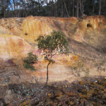
But what causes the ochre like colours in the rock? We can see from the fine grain size of the rock and the thin layering that the mudstone was deposited on the seafloor at a time when bottom currents were gentle or even absent. This created an oxygen poor environment which was just right for the mineral pyrite (FeS2) to form in the muddy muck. After the mud turns to stone, and despite all the upheavals over the eons, pyrite remains in its pure state as tiny cubic crystals, that is, until erosion finally exposes the rock near the surface. When rock is exposed to within about 30 metres from the surface the oxygen-bearing groundwater reacts with the pyrite to form iron compounds that move through the weathered rock and start to fill cracks, or more porous parts of the weathered rock. These iron bearing minerals are called limonite or goethite – and these are the red-brown, or ochre coloured streaks (Photo 2).
Photo 1: The fine horizontal lines in this photo are the edges of dozens of thin layers of mud and silt that were laid down on the ocean floor. The dark brown fragments are pieces of limonite or goethite that have been weathered out of the outcrop and now just floating around.
Photo 2: The red-brown diagonal streak is probably a concentration of limonite formed along a tiny quartz vein.
This is the ninth post in our geology series written by Clive Willman.
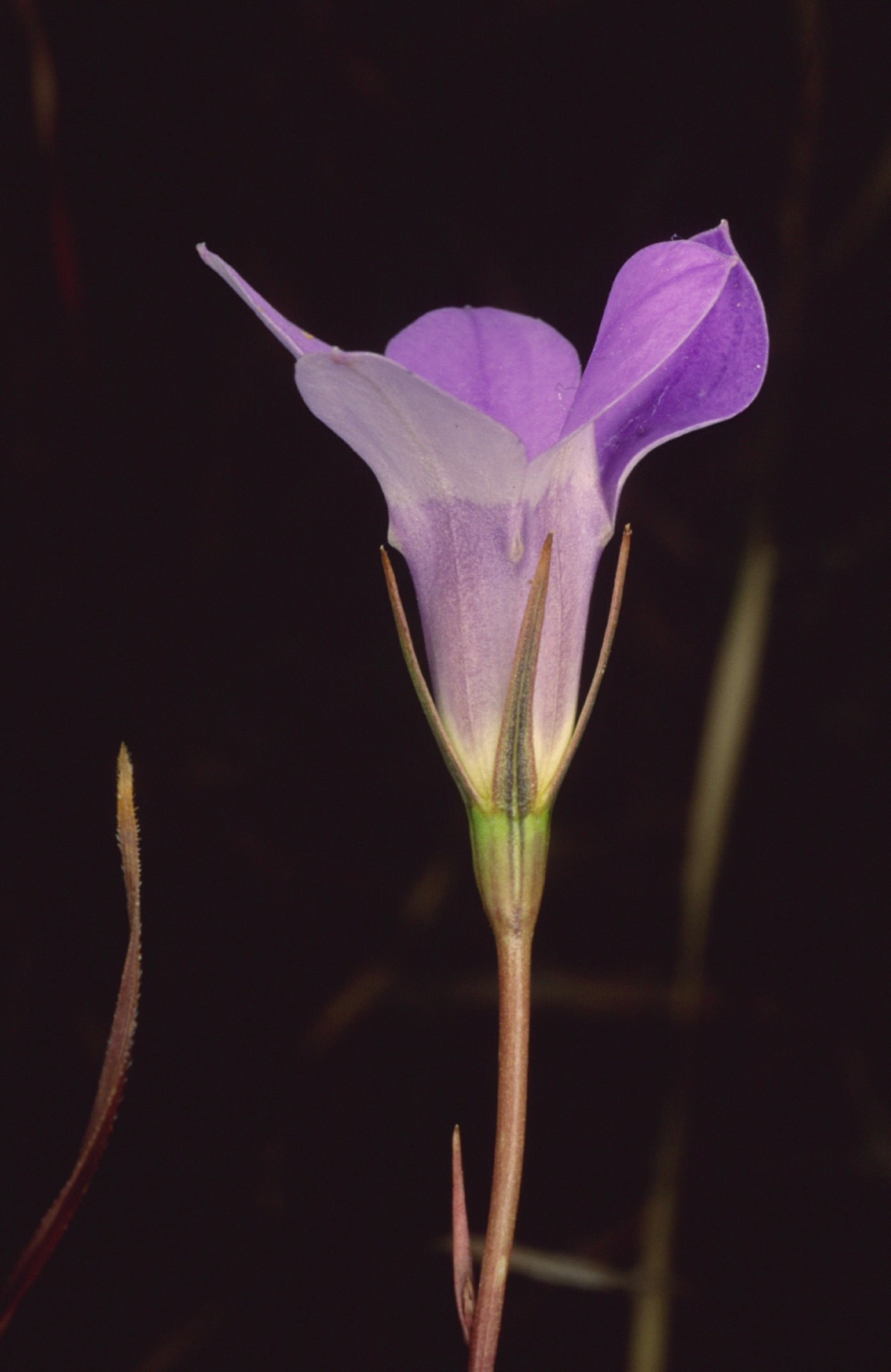


 Click on image for info/order page
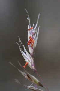
 Click on image for info/order page
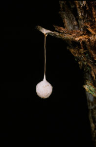
 Click on image for info/order page

")


")


