DSE’s 2012 Code of Practice for Bushfire Management on Public Land is now out. It can be found here. Readers will remember our discussion of the draft of this document last year. This version is significantly changed from that draft.
For a start, the name is different: the change from Code of Practice for Fire Management to Code of Practice for Bushfire Management may indicate a shift in emphasis: the focus now seems less on seeing how fire works in the environment, and how its beneficial effects can be maximised and its destructive effects limited. Now the focus seems to be primarily on bushfire prevention and moderation. This may simply clarify what has been the case in practice, or it may indicate that there has been a definite shift away from environmental concerns towards straight out safety matters. We’ll have to wait and see on that: on the one hand, sections in the draft Code requiring DSE to develop a fire ecology strategy, and support research, have been removed; on the other, the Code still commits the Department to act on the basis of scientific research, along the lines recommended by the Royal Commission. How this research is to be conducted and applied is, as always, an interesting question.
")
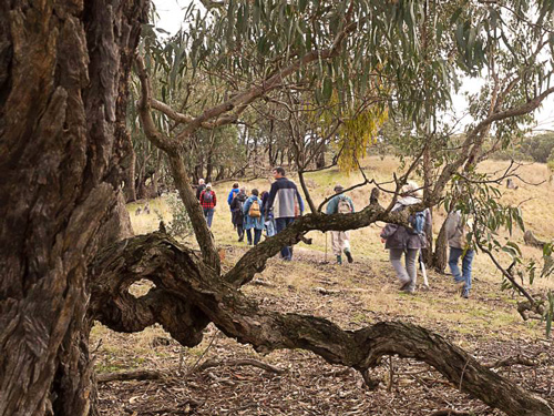
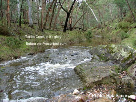
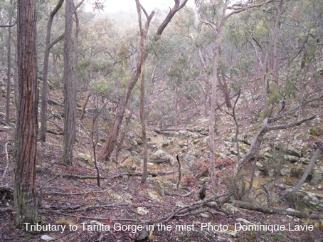
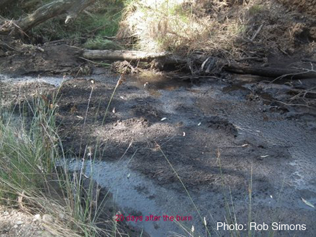
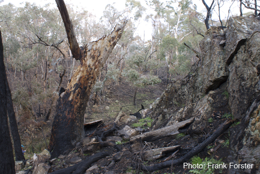
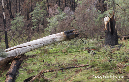
'‘The Department will seek to protect soil by measures which minimise damage to its physical and chemical properties or which promote stabilisation of bare earth following disturbance…The Department will seek to protect water quantity and quality by measures that minimize the impact of bushfire management activities...' Tarilta creek after DSE burn, March 2012.
The Code repeats the dual aims of its predecessors:
‘There are two primary objectives for bushfire management on public land:
‘• To minimise the impact of major bushfires on human life, communities, essential and community infrastructure, industries, the economy and the environment. Human life will be afforded priority over all other considerations.
‘• To maintain or improve the resilience of natural ecosystems and their ability to deliver services such as biodiversity, water, carbon storage and forest products.’ [p. 1]
The second aim is expanded as follows on page 5:
Continue reading →

")
")


")


")


 Click on image for info/order page
 Click on image for info/order page
 Click on image for info/order page

")


")


