
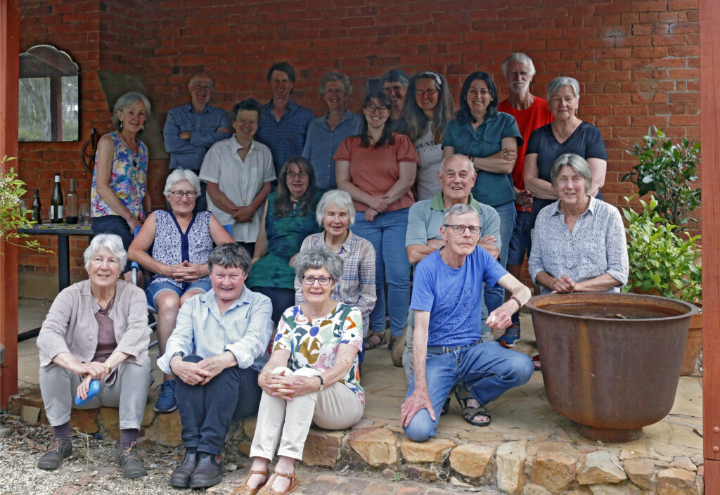
This is Alex Panelli’s contribution to the FOBIF turns 25 show.
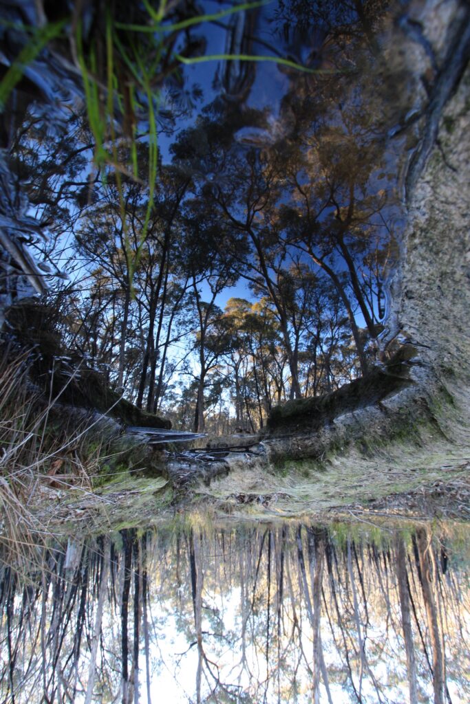
What matters to me about this country is its happening. It happens with me now, up close and all around. I am immersed in it, psychologically entangled. There are foreshadowings here and absences; offerings and traces.
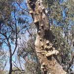
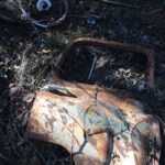
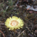
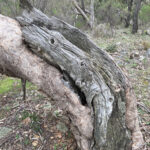
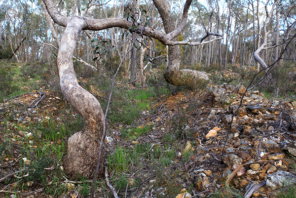
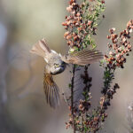
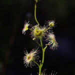
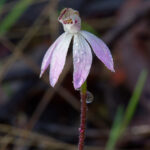
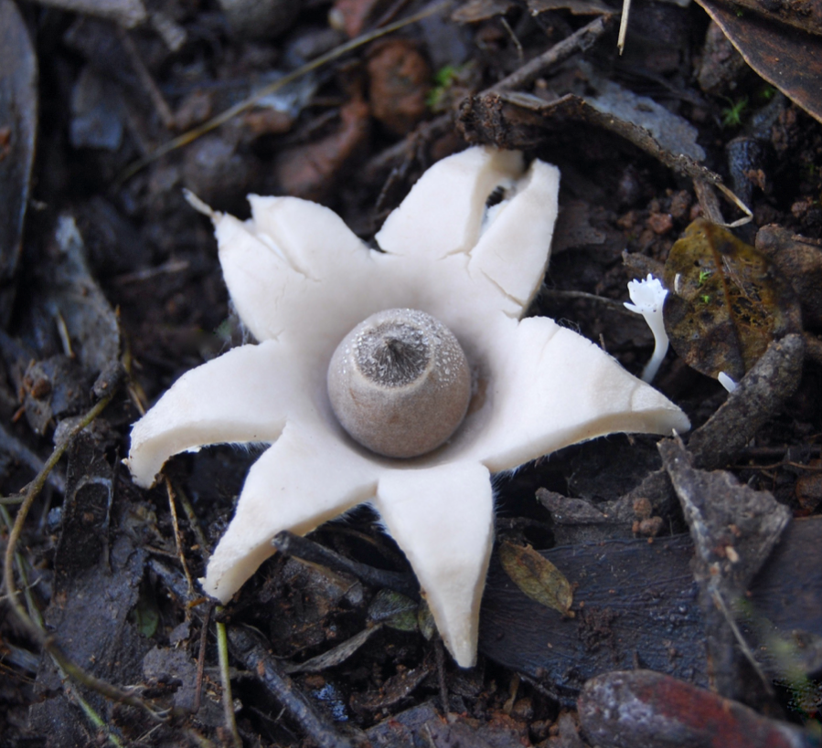
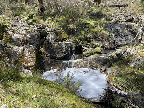
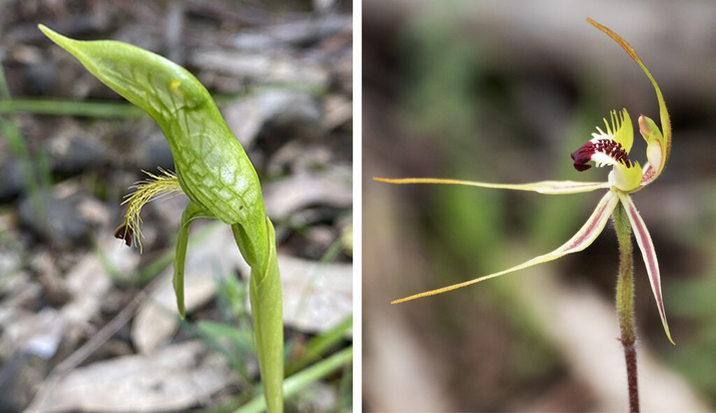
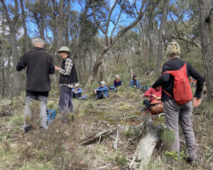
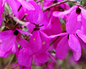
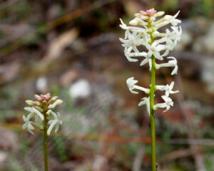
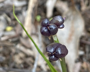
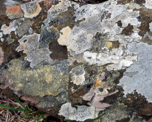
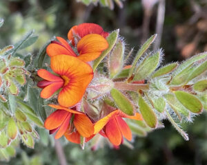
It was in my childhood and with my family that I first came – to an ancestral place, seemingly empty, waiting for us. Much later, in 2009, it drew me again. I came, this time alone. At first then I took photos mainly of flowers, but there were also the slim trunks of Candlebarks wavering in the glow that comes through fog when the sun is rising. I moved on to tangled bush and singular trees, still often in fog or deeply shaded frost with the sun beyond them. I lay on the ground, took photos through grass. In the dust of summer, photos of shadows, myself amongst them. Torsos of bravely dying trees, and of human things discarded. Of fallen leaves in amber water in the hollows of a stream, and of reflections on a pool of water’s surface.
Looking at these things later, I was disappointed. I am not a great photographer but that was not the problem. Slowly and more deeply I came to realise, however consummate a photo may appear, each thing that joins our gaze – the intense self-presence of an opening flower, the living poise of a bird, whether at rest or in motion, or the decaying, life-giving looming of an ancient tree that waits to fall – they are with us, we meet. Each meeting – a mutual exposure – we are in it, it can surprise us, it leaves a trace. And each one joins us intimately with all that is unfocussed and still unsaid around it. I would like my photos to acknowledge this.
Click on the thumbnail sized photos to enlarge.
As explained in a previous post all contributions to the FOBIF turns 25 exhibition are welcome and will be posted on this site. A selection will be chosen for display in at the Arts Hub, which will run between 25 February to 13 March 2023.


 Click on image for info/order page
 Click on image for info/order page
 Click on image for info/order page

")


")


