
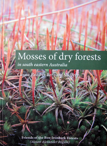
Over 100 people packed into the Phee Broadway Theatre foyer last Saturday for the launch of FOBIF’s latest publication, Mosses of dry forests of south eastern Australia. The book was launched by Frances Cincotta, after co author Cassia Read had given a colourful account of the book’s genesis and progress into production.
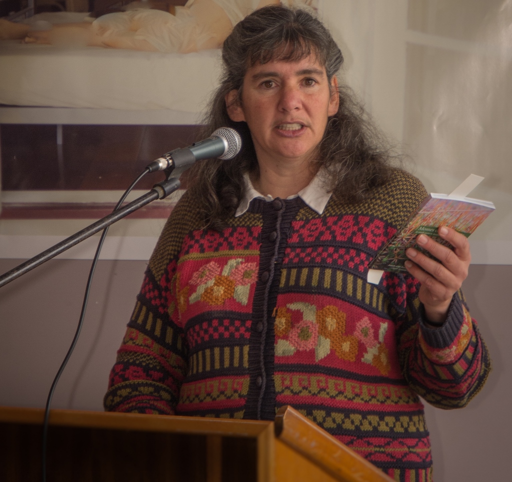
Frances Cincotta launching Mosses of dry forests…: ‘Mosses are no longer in the too hard basket: they’re in the heavy basket with all the other flora guides where they belong.’
In speaking to the launch of the guide, Frances gave an informative account of the context in which this little book is appearing. We reproduce her talk here:
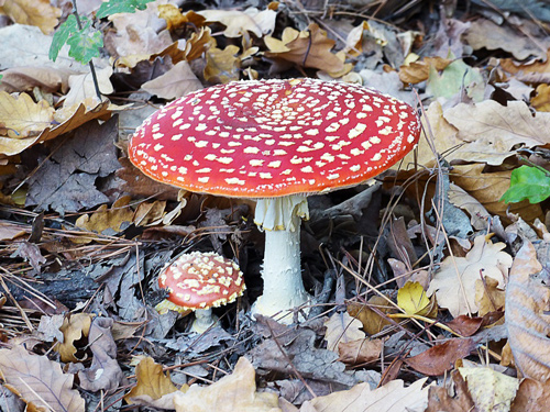
‘I am delighted to be asked to launch this beautiful little book. I guess I was chosen because of being an enthusiastic promoter of our local indigenous plants since moving to central Victoria in 1990. So I’ve had the privilege of being one of the first to see the finished product of all the labours Cassia has just described. The book is such a pleasure to read, is user-friendly, and helps to fill a gap in our knowledge of local ecosystems. The first thing you notice is the quality and beauty of the photographs.
![Friends of Kalimna members Polly Woods, Robyn Lewis, Bernard Slattery and Geoff Hannon, flanked by Park Ranger Noel Muller [left]and Regional manager Craig Stubbings [right]](https://www.fobif.org.au/admin/wp-content/uploads/2014/06/5319034-768x1024.jpg)


 Click on image for info/order page
 Click on image for info/order page
 Click on image for info/order page

")


")


