
The weather on Sunday (17th May) was perfect for our FOBIF walk into the Nuggetty Range. Thirty-three people came along and it was good to see some newcomers to FOBIF on the walk.
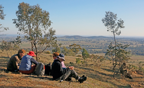
Walkers enjoying the sun and morning tea at a high point on the Range.
The group was ably led by geologist, Brian Cuffley, who had prepared maps and an introductory handout. The Nuggetty Range, he explained
is part of the metamorphic aureole surrounding the Harcourt Granite to the north. The granite has heated and hardened the slate and sandstone bedrock and has produced a hard flinty rock called hornfels. Hornfels is very resistant to erosion, thus it has formed a range about the granite which has weathered away more rapidly.
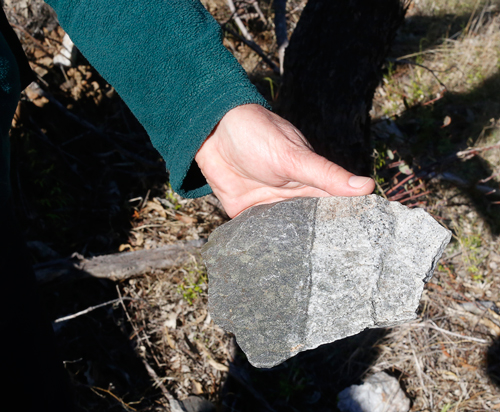
This rock from the Nuggetty Gold Mine shows the contact between granite (right) and hornsfel (left).
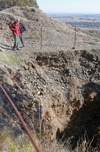
Looking into the Nuggetty Gold Mine.
From the Nuggetty Gold Mine, the walk continued in a westerly direction to the lunch spot at the Rock of Ages (Mt Moorul). This location also had a terrific scenic outlook. Walkers then proceeded along the Rock of Ages Track to the beginning point on the corner of Church Street and Davies Lane, Maldon.
Our next walk will be led by Bernard Slattery in the Goughs Range. See walks page for more info.


 Click on image for info/order page
 Click on image for info/order page
 Click on image for info/order page

")


")


