At the time of writing, it looks as if the ALP will form the next Victorian State Government. The Labor Party’s land management policy, like the enviro policies of all the parties, was pretty muted. It can be found in the last pages of the party’s 88 page platform. Below are a few sections which may be of interest in the next few years:
‘Fuel Reduction
‘Labor is aware of the need to undertake fire mitigation measures such as fuel reduction burning to reduce the risk of fires and to protect lives, property and the environment.
‘Labor will:
‘• Develop and implement fire management plans appropriate to the ecosystem being burnt, enhance regeneration and are based on current scientific research into biodiversity and sustainability requirements of indigenous flora and fauna [FOBIF comment: this sentence doesn’t hang together, but if it means anything, it means the five per cent target must go]
‘• Implement fire management practices based on mosaic burns principles, which allow for biodiversity preservation and ensure that managed burns replicate, as closely as possible, natural burns.
‘National Parks
‘Labor is committed to the creation and protection of a world-class system of National and marine parks for all Victorians to enjoy and will invest in these parks. Labor recognises that National and marine parks provide economic benefits for regional communities and are vital to the ecosystem, providing biodiversity, ecosystem services and recreational opportunities.
‘Labor will:
‘• Review the National Parks Act to ensure its primary focus on the conservation and protection of the national parks network including:
‘• Ban cattle grazing in the Alpine and Red Gum National Park
‘• Develop a strategic plan for the future of parks and reserves system to provide a blueprint for management of parks and reserves
‘• Review the status of Victorian State Parks to ascertain their suitability for inclusion as a National Park
‘• Exclude inappropriate commercial activities or inappropriate tourist developments and prevent any development inside National Parks that could compromise the integrity of the park
‘• Ensure separation of the roles of overseer of the Department and of management of parks and involve indigenous people in the management of National Parks
‘• Build a stronger park management agency and ensure direct reporting to the Minister for Environment. Ensure a specialist focus on environmental management of conservation areas and rare and endangered wildlife
‘• Investigate developing new National Parks to protect Victoria’s threatened species, unique vegetation including unique grasslands
‘• Labor will investigate the establishment of new National Parks and reserves in current productive forests where there is agreement between key stakeholders
‘Landcare
‘Labor recognises that protecting the environment would not be possible without the dedication and commitment of local community groups across
Victoria. Labor understands that community participation through Landcare is crucial to achieving sustainable resource management in communities
across Victoria.
‘Labor will:
‘• Strengthen and support Landcare and community conservation networks to ensure knowledge and information exchange occurs between Landcare groups
‘• Increase support for facilitators and improve management arrangements for Landcare groups
‘• Work with local Councils and landowners to better manage weeds and pests on public and private land.’

![Wiry mistletoe [Amyema preissiae] on wattle along Forest Creek, Castlemaine town, January 2015](https://www.fobif.org.au/admin/wp-content/uploads/2015/01/IMG_8849.jpg)
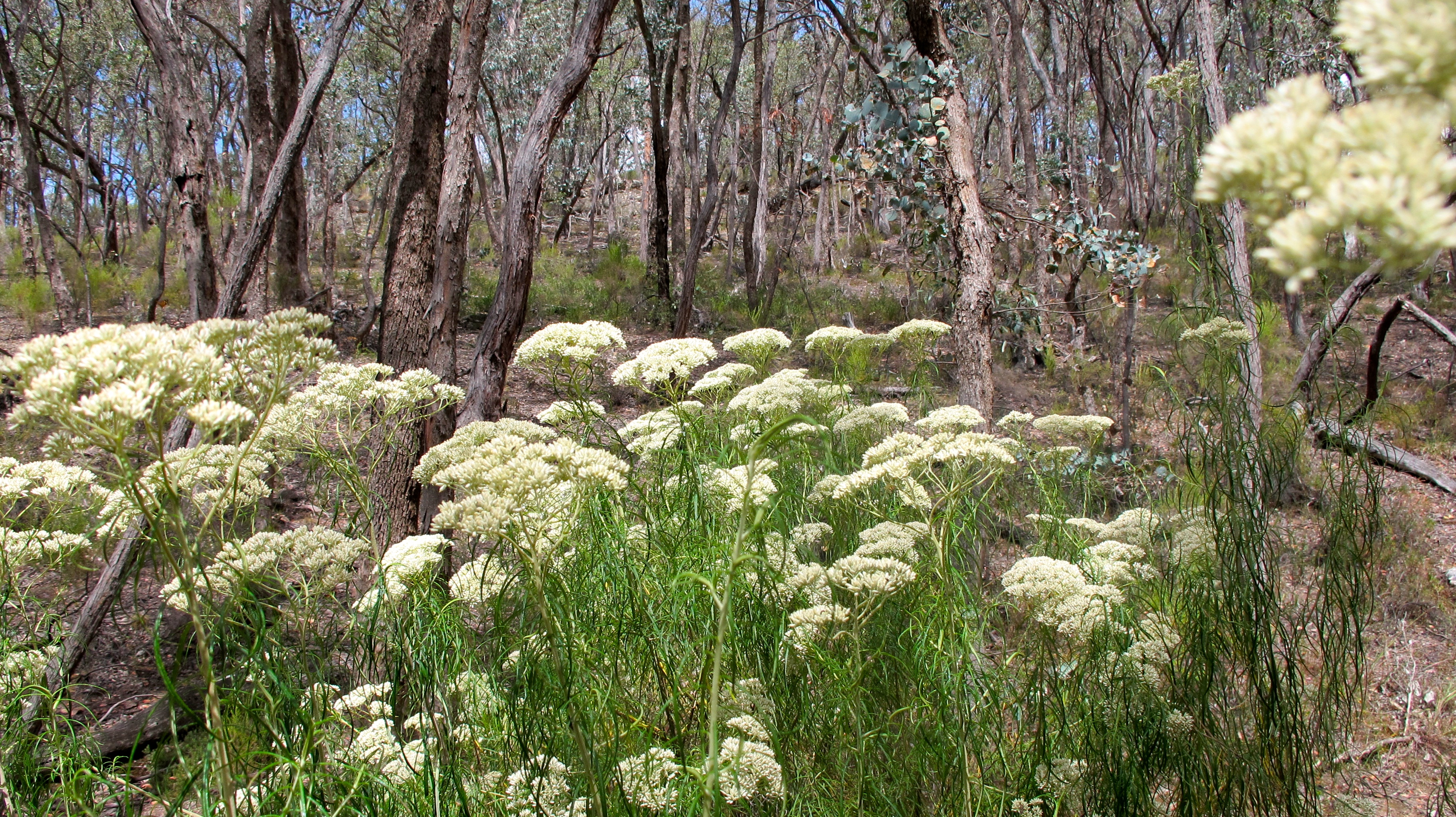
![Trigger plant [Stylidium America], Fryers Forest January 1 2015](https://www.fobif.org.au/admin/wp-content/uploads/2015/01/pelargonium.jpg)


 Click on image for info/order page
 Click on image for info/order page
 Click on image for info/order page

")


")


