The following is part of the latest newsletter from Harley Douglas, Dja Dja Wurrung co ordinator of the Walking Together project. All of this is worth reading, and we recommend that readers take the survey referred to at the end:
‘The Walking Together- Balak Kalik Manya Project is a four-year project committed to writing site-specific management plans for two sites within Dja Dja Wurrung Country; Kalimna Park in Castlemaine and Wildflower Drive in Bendigo. Both sites were selected due to their proximity to growing townships and the increasing pressures of urbanisation slowly encroaching both park boundaries. The project is exploring how we can increase community connection with nature, how to improve visitation rates and encourage healthy use of these sites, all while maintaining and improving biodiversity. The project will promote Djaara employment and assist in Djaara reconnecting with traditional practices of land management.
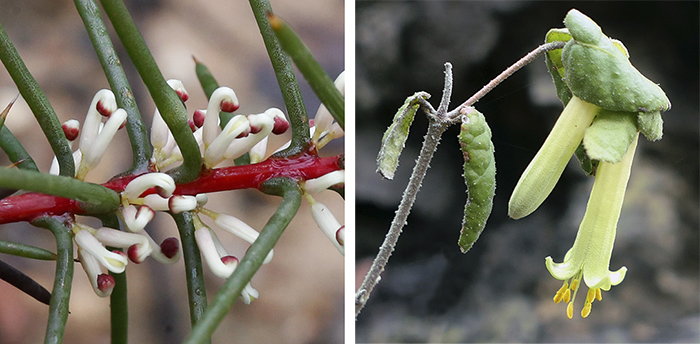
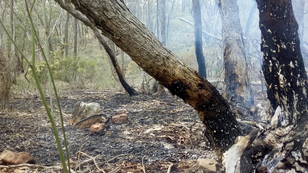
‘Since the previous newsletter, our flora and fauna assessments have now been completed with terrific results in mapping Eltham Copper Butterfly (Paralucia pyrodiscus lucida) populations and clusters of Sweet Bursaria (Bursaria spinosa) habitat within Kalimna Park. Similar surveying was completed at Wildflower Drive to detect the presence of the Eltham Copper Butterfly but sadly, there were none detected. The elusive Pink-tailed Worm-lizard’s (Aprasia parapulchella) presence was discovered at Wildflower Drive. This is an important find as our surveying information and mapping of this species, and other threatened and important species, has been provided to DELWP to inform their scheduled fuel reduction burns at the site.
‘We have also recently completed an extensive camera trapping program across both sites with Tactecol Consulting, in total 36 cameras were setup for a month to record and monitor the presence of a broad range of animals; but with a focus on arboreal marsupials such as Tuans, Sugar Gliders and Possums. Kalimna Park had promising results with Tuans but unfortunately, Wildflower Drive did not record the presence of any Tuans, Sugar Gliders or Possums. This was extremely disappointing given that the One Tree Hill area of the Greater Bendigo National Park (just a stone throw away from Wildflower Drive) is known to have healthy populations of these animals. However, this disappointing result provides an opportunity to investigate a range of management actions to help these struggling animals. Such as a rope bridge over Strathfieldsaye Road connecting the One Tree Hill block to Wildflower Drive, and this also provides an opportunity to construct and install nest boxes onsite in conjunction with school groups and local community members to help attract and provide a home for these important species at Wildflower Drive.
‘Cultural surveying will continue as more rockwells and other areas of cultural significance have been discovered and recorded within Kalimna Park, many thanks to the vigilant community members who are keeping an eye out for items of cultural significance and making us aware of the location for verifying. So far, all the items of cultural heritage I have been asked to look at have been legitimate- showing that some members within the Castlemaine community have a keen eye for Djaara culture.
‘During April this year, we were planning on beginning consultation with the community to better understand what it is the community aspire their parks to be. Given the current global circumstances with COVID-19 we have had to delay this process until we knew how to best approach the situation. We will be going ahead with community consultation, starting NOW, in the form of a short, online survey. The survey asks questions about demographics and prioritisation of specific management actions that have been suggested for the parks. This survey is just the beginning of the community consultation we are planning to do, and I am hoping that we can meet in person within the next couple of months; when COVID-19 restrictions ease. Please fill in the survey and redistribute to other interested members of the community if you feel like doing so.’
Here is the link to the survey- https://www.surveymonkey.com/r/2MF7B2Z


 Click on image for info/order page
 Click on image for info/order page
 Click on image for info/order page

")


")


