
On Monday August 25 the Department of the Environment and Primary Industries hosted a meeting with representatives of enviro groups from the West Central Risk Management area.
The point of the meeting was to discuss current and future fire planning in this area, which extends from north east of Huntly to south west of Ballarat, and includes Werribee, the Macedon Ranges and Sunbury. Given that only about a dozen community representatives were able to attend [most of them from the Mount Alexander region] the meeting didn’t actually represent environmental groups of communities throughout this area.
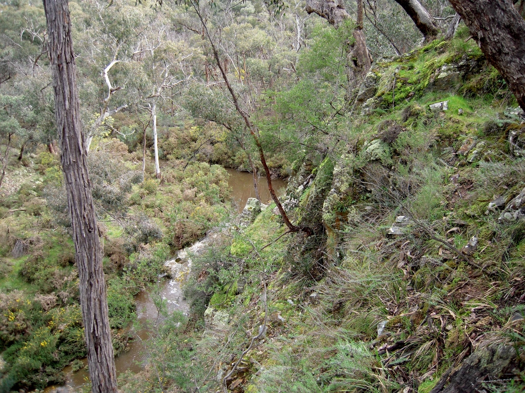
Middleton Creek, declared a ‘high value ecosystem area’ in the government’s risk management strategy. Here’s a question: is ‘risk management’ compatible with a blunt policy of burning five per cent of public land?
As we have reported previously, the Department is talking a lot about ‘risk management’, the approach which, it has been hinted, may take over in fire protection from the very crude and destructive ‘five per cent’ approach, which has involved trashing huge areas of Victoria to no good effect.
Risk management was the talking point at Monday’s meeting. It’s been hard to find out exactly what this means on the ground, so the big achievement on Monday was the unveiling of a map of the area identifying assets for which serious risk assessments are to be made for the purposes of strategic bushfire management.
These assets come in three categories: priority communities, priority infrastructure and high value ecosystems.
The first two of these categories are relatively uncontroversial. In our area, for example, priority communities are Maldon, Harcourt, Castlemaine, McKenzie Hill, Chewton, Elphinstone, Taradale and Fryerstown. Priority infrastructure includes transmission lines and water treatment plant.
From our point of view, the interesting part of the briefing was the nomination of four ‘high value ecosystem areas’ in our region: Mount Alexander, Muckleford forest, a section of Kalimna Park, and a section of bushland apparently encompassing parts of the Tarilta valley and the south end of the Diggings Park near Middleton Creek and Wewak Track.
While we don’t dispute the value of these places, FOBIF representatives at the meeting couldn’t figure out the criteria whereby they, and no other places, were so nominated. The decision making process was outlined, but without access to the supporting documents attendees found it hard to judge this process.
The crude maps supplied by DEPI, for example, seemed to show that the nominated section of Kalimna does not correspond to Eltham Copper Butterfly colonies, which should be a major reason for the park’s special treatment.
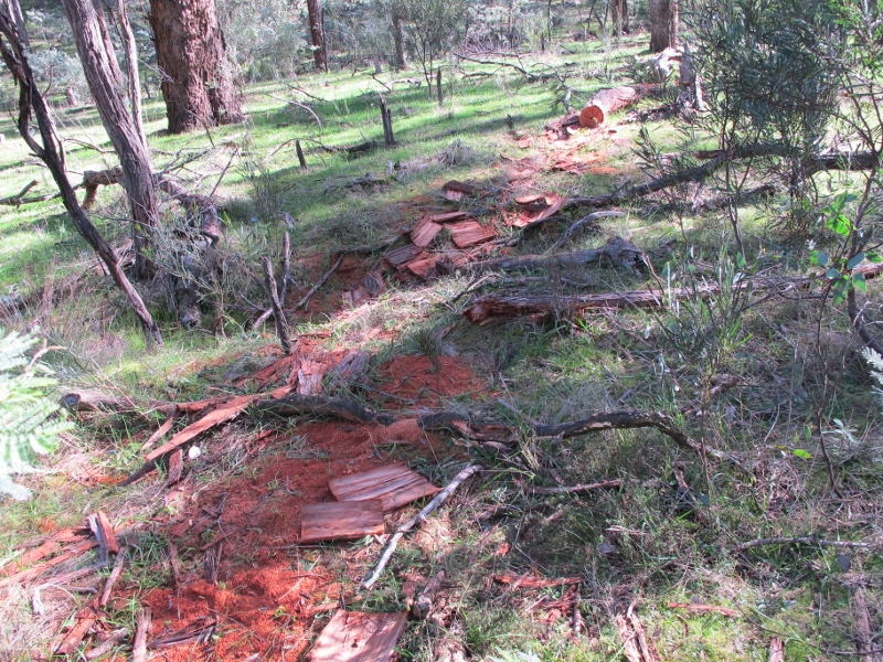
The Muckleford Forest section includes areas severely burned in 2012, and others slated for future burns.
And the Tarilta-Middleton Creek area includes sections trashed by DSE in ‘control burns’ in recent years. It also includes the Amanda’s Track area, slated for burning in the current Fire Operations Plan.


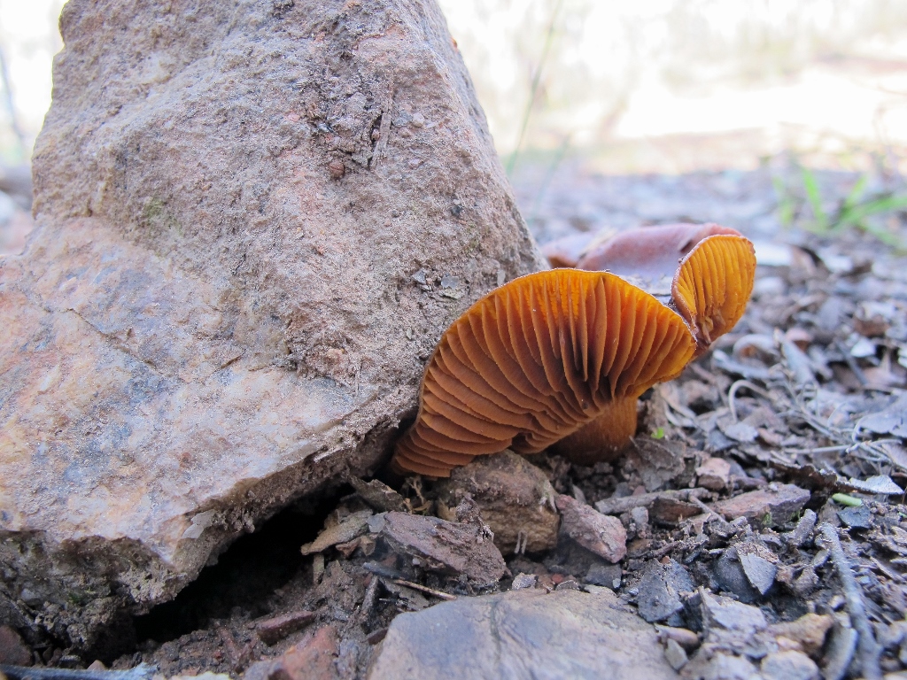
![Horse Dung Fungus [Pisolithus tinctorius] pushing up through the surface of the Irishtown road: fungi are impressive weightlifters.](https://www.fobif.org.au/admin/wp-content/uploads/2014/07/horse-dung-pisolithus-irishtown-tk-march-29-2011-4-800x600.jpg)


 Click on image for info/order page
 Click on image for info/order page
 Click on image for info/order page

")


")


