
FOBIF has made a brief submission to the current Parliamentary enquiry on fire preparedness. This is possibly the millionth submission on fire we’ve made over the last 15 years, and is accompanied by a slight feeling of going around in circles: but we live in hope that repeating ourselves over and over might have a beneficial effect.
The submission concentrates on environmental matters and the Parks Victoria budget. The headings in bold quote the enquiry’s terms of reference. The substance of the submission is below:
***
This brief submission will concentrate on the two categories under A below, and we will make a brief comment on Parks Victoria’s most recent annual report.
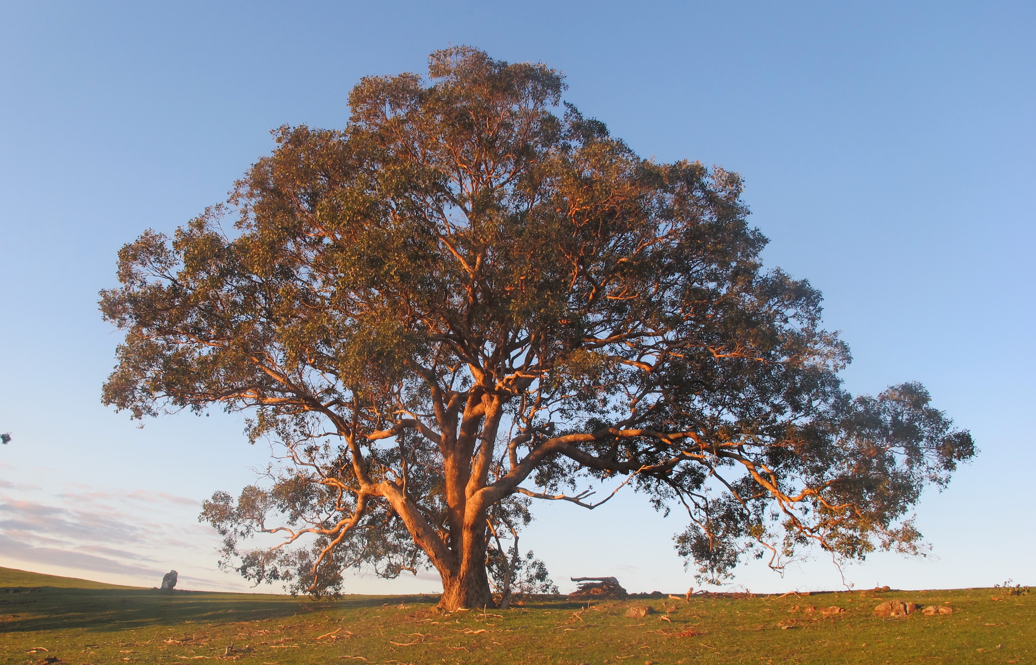
We do not intend to underplay the importance of safety: we merely wish to insist on the importance of integrating safety concerns with a commitment to a healthy environment: we don’t believe we should make ourselves safe by reducing the environment to a dust bowl.
In our view, the common assumptions about fuel management in the past were either, ‘the bush is tough, it will recover’, or ‘too bad, safety comes first.’ We believe management should advance from the trade off position to one where it aims for both safety and environmental health, and resists any notion of trade offs and compromises [most of which, in the recent past, have been on the environmental side.]
A ‘c. The impact of preventative burns on threatened species; d.The impact of preventative burns on Ecological Vegetation Classes;’
We wish to make the following specific requests:


 Click on image for info/order page
 Click on image for info/order page
 Click on image for info/order page

")


")


