
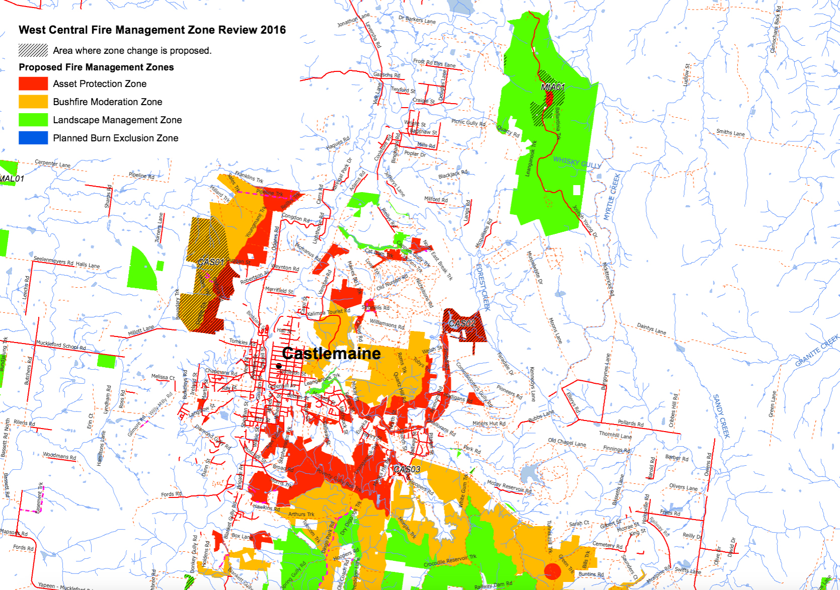
Here are a few conclusions we can draw from recent meetings with DELWP fire managers in the last two weeks:
- The proposal to frequently burn Expedition Pass and surrounds is definitely off. It was a mapping error, and we’ll pass over it with a shudder.
- The government aims at a ‘coordinated approach to managing bushfire risk across all land tenures by 2020.’ That is, we should soon be able to see a coherent approach to fuel management on private land, integrated with treatment of public land. How soon? We don’t know.
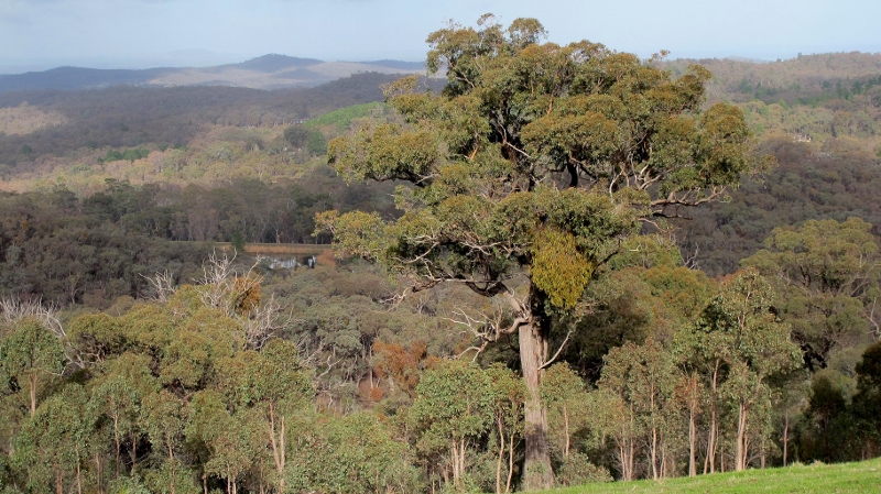
- Fire hazard reduction in sensitive areas like the Vaughan area and the margins of Kalimna Park will be achieved mechanically rather than through burn offs. The Loddon river valley won’t be burned.
- There are no plans in the immediate future for operations on the eastern [Happy Valley] side of Kalimna Park. However, if residential developments proceed in the valley, then Kalimna will definitely have to be more severely treated.
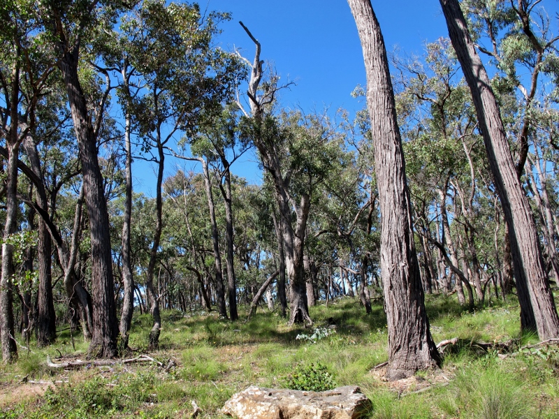
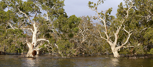
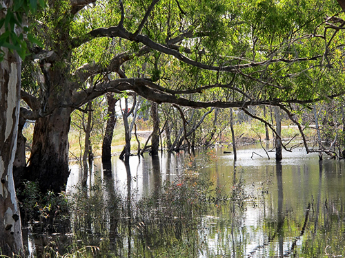
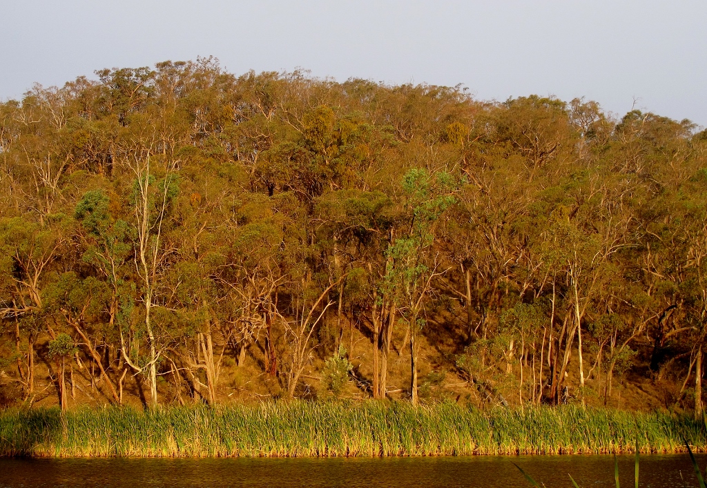
Near Hunters Track, Castlemaine Diggings NHP: the bush in this area is more open than regrowth forest nearby, and has numerous interesting cultural features. It has recently been rezoned and is now open to more severe fuel reduction treatment.
The above are conclusions after two meetings in the last three weeks.
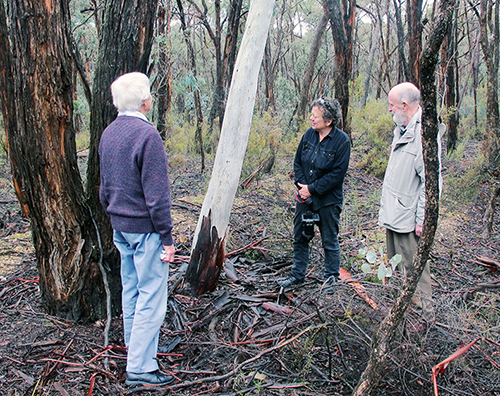
Representatives of FOBIF and the Friends of Kalimna Park met with DELWP managers in Castlemaine on November 23, and representatives of FOBIF and the Talking Fire group met with the DELWP West Central Bushfire Risk Landscape team in Daylesford on December 1.
Under discussion were the revised fuel management plans for the region. The intent of both meetings was to aim at a fuel management program which achieves public safety while respecting the natural values of local public land.
Several other matters were discussed:
In response to questions about poor track management, officers repeated a rationale we’ve heard before: that ‘road access is required for fire suppression’ etc. This is a disappointing response, as we’ve never questioned the need for such access: what we’ve questioned is crude and careless track management, and lack of care [and possibly even understanding] of roadside vegetation.


 Click on image for info/order page
 Click on image for info/order page
 Click on image for info/order page

")


")


