Have your say on the budget

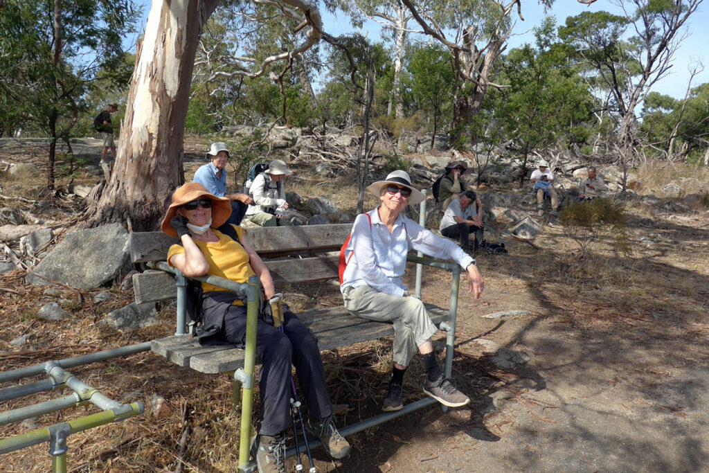
Mount Alexander Shire Council’s budget provides an opportunity to influence Council on what citizens would like it to spend money on (and/or avoid spending money on).

The draft 2022-23 budget went before Council at its meeting on 19 April, and residents and ratepayers are invited to send in submissions on the budget up until 5pm 11 May.  The submissions will be considered at a council meeting on 24 May and the budget adopted at a meeting on 21 June.

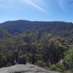
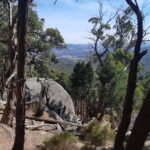
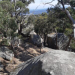
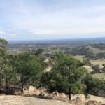
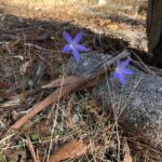
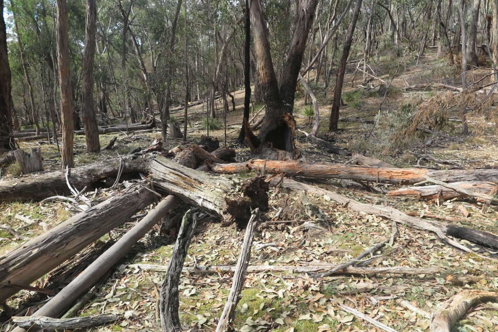
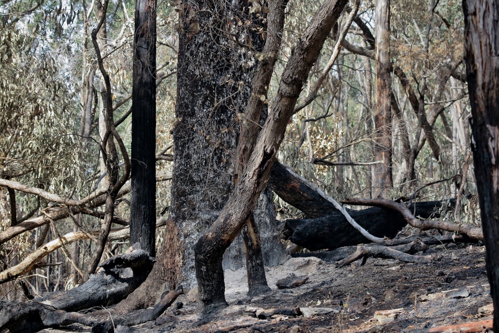
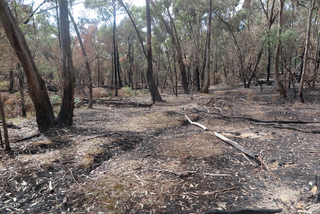
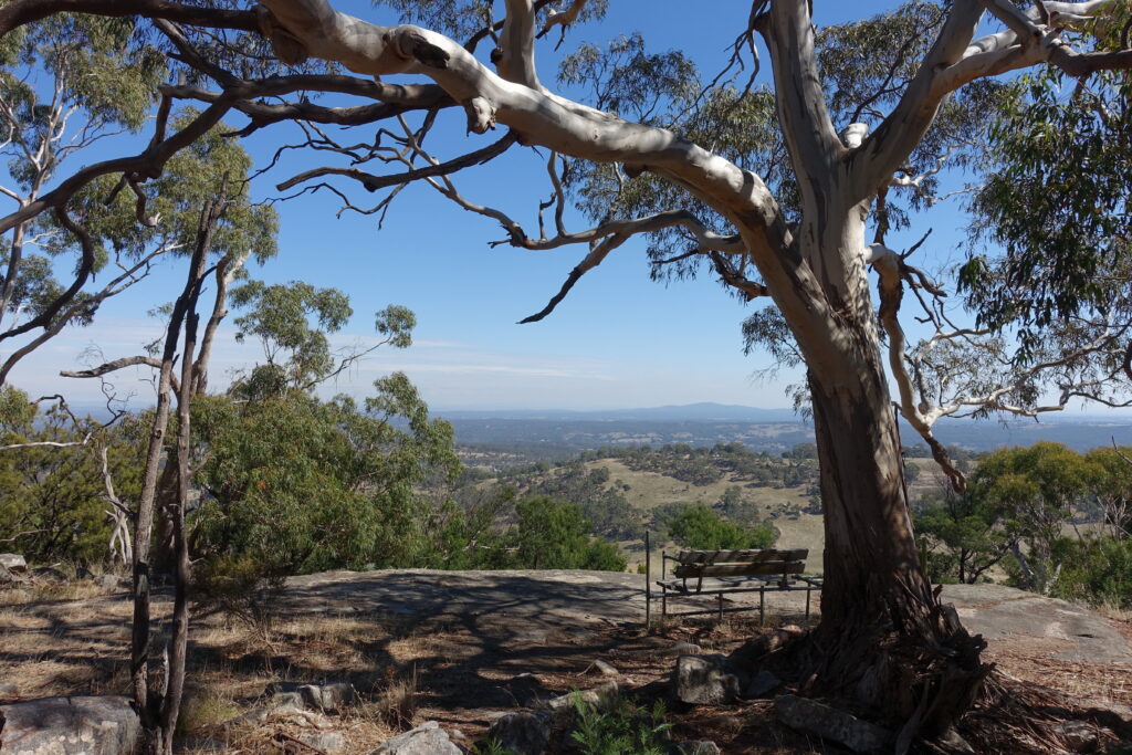
If residents don’t tell staff and councillors we think weed removal and other ways of helping natural ecosystems survive and flourish are important, they won’t know, and are more likely to prioritise squeakier wheels.

The draft budget can be found here.

Paper copies can be requested at the council offices.  Its many pages don’t give detail about how much money has been spent and is proposed to be spent on Natural Environment and how the money is divided up.  But that need not deter residents from making general submissions:  in the past Council has acted favourably on general budget requests by submitters asking for more money for removing environmental weeds, and the hours of the Natural Environment Officer to be increased to full time.  Submissions don’t have to be long–one paragraph would be OK.

Submitters will also have an opportunity to address the council budget meeting on 24 May.  This is very worthwhile, as it can increase the impact of submissions by helping submitters’ ideas stand out from all the paperwork councillors have to read.

Submissions can be sent to info@mountalexander.vic.gov.au.

Posted in News | 1 Comment

Where should the signs point?

A project is under way to install new visitor information points along the Goldfields Track.

The project involves 4 visitor hubs, 8 trail headboards, and up to 100 interpretive signs along the 200+ kilometre length of the track between Ballarat and Bendigo. Consultants are currently working on the design of the project with Goldfields Track inc and Djandak, the  commercial arm of Dja Dja Wurrung Clans Aboriginal Corporation.

If you’re a bit unnerved by the idea of ‘100 interpretive signs’ along the track (that would be a sign about every 2 kilometres!), so are we. However, we are assured first, that this number might be ‘only’ 75, and second, that the signs might be simple QR codes on posts. By applying a phone to the Code, visitors would be able to read off info about natural and cultural features of the point in question.

Think authorities can’t go a bit bonkers with unnecessary signs? Think again. Of course, we don’t think the present project will make this sort of mistake.

The potential value of this project is obvious, and the Djandak involvement in the project should ensure some balance is restored to the interpretation of our bushlands, too often weighted to a glorification, or sentimentalisation of gold fever.

FOBIF is watching this project with great interest. 

First, we don’t want a proliferation of signs to disturb the serenity of those parts of the Diggings park most notable for their feeling of abandonment and isolation. Parts of our bushland are already cluttered with unnecessary or out of date signs, a clutter which definitely does not add to the ‘natural’ experience.

FOBIF walkers taking a rest, Sebastopol Gully: parts of the Diggings park would be spoiled by an excess of signage.

Second, we believe that any serious explanation of the goldfields landscape should include information about the destructive effects of the gold rush. Any visitor to our region must be struck by the number of eroded waterways and clearly degraded land. Any signage offering information about the region must include an explanation as to how this happened, and a sober account of what happens when rampant pursuit of wealth overrides all other concerns.

Brown’s Gully near the Goldfields Track crossing: the innumerable degraded streams in our region are part of the price we have paid for gold. Explanations of these landscape features should be provided in the relevant places.

The consultants’ approaches to these questions seem constructive. One question about the project is still not clear to us, however: the role of Parks Victoria. The Goldfields Track traverses significant parks in this region, and Parks Victoria is supposed to have a major role in community education on the value of these lands. In recent years, Parks seems to be more interested in tourism than in education. We’ll see what constructive input PV might have in this project.

Posted in News | 2 Comments

Walkers ascend Mount Alexander

In perfect Autumn weather seventeen people joined in the second FOBIF walk for the year last Sunday. The loop route on Mount Alexander involved some hard sections including a solid climb from Forest Creek up to the Goldfields Track. Views were magnificent and everyone benefitted from Jeremy’s leadership and Frances Cincotta’s expert plant identification. 

Walkers at Dog Rocks. Photo by Michael Muldowney

Frances sent us the following summary:

“On the walk along the western boundary of the park we climbed between Messmate Stringybarks and Manna Gums with an understorey of Lightwood, Blackwood and Hop Bush, as well as serious environmental weeds including Briar Rose, Blackberry, St John’s Wort and Bridal Creeper. It was pleasing to see so many fallen trees and branches and standing dead trees which provide great habitat. Ecological wood is often a sadly missing component of our State Forests which are still plundered for firewood.

We only saw a few species flowering – Manna Gum Eucalyptus viminalis, Bluebells Wahlenbergia species, Showy Isotome Isotoma axillaris, and some Sticky Everlasting Xerochrysum viscosum). However the mountain with its rugged boulders and look-outs provided much of interest.”

FOBIF walkers at last lookout Mountt Alexander. Photo by Frances Cincotta

Thanks to Jeremy for another great walk.

Our next walk will be on 15 May to the south end of Tarilta. This 7 km walk will include some rough tracks and steep terrain. Check here for more information.

Posted in News, Walks | Comments Off on Walkers ascend Mount Alexander

Code violations and other concerns

The Code of Practice for bushfire management was published in 2012, in the aftermath of the Royal Commission into the Black Saturday fires. You can check out FOBIF’s review of the document here. The Code was intended to be replaced after 10 years.

The Victorian Government now intends to keep it going till 2024. It’s looking for your view on the matter, and has published an updated version of the document for your consideration. The changes are pretty well all minor changes in terminology, so really the question is, do we want the old Code to go for a couple more years?

You can have a say by going to the consultation site here.

How is the Code travelling, 10 years later?

FOBIF has a few concerns about it, but our major worries over the years have been with the fact that its provisions have not been followed, particularly in the matters of evaluation and transparency.

For example, fuel reduction burns should be carefully monitored, and the results used to improve future practice. Further, the results of this monitoring should be publicly available.

We have never been able to get a satisfying account of the ecological effects of Department burning.

If you’re writing a submission to the process, we recommend that you make a simple request: that the Code include a requirement ‘that assessments of all burns be published on the DELWP website and Facebook page.’ [See our posts below]

Posted in Fire Management | Comments Off on Code violations and other concerns

A case study, for your consideration

DELWP completed its management burn at Kemp’s Track in the Fryers Nature Conservation reserve in the last week of March. It was one of four significant department fires in this region.

We had a look at the site on April 11. It’s hard to get an overall sense of a 260 hectare site, in which the impact of fire varied from very severe to very mild, with some areas untouched.

We have two distinct impressions of the fire zone, however:

First, that, as is common in these cases, large trees have been felled as a result of the fire. This is not supposed to happen.

Unusually large habitat trees felled as a result of the Kemps Track burn. One of these is a Swamp Gum, unusual in this region.

Large trees victims of the burn. The very big Yellow Box in the centre may survive.


Second, areas which we supposed to be low fuel zones—for example, grassy riparian zones—were burned. We don’t see the point of this.

Mossy creekline burned in the fire. We were curious about its fate–see our March 28 post. This area did not need ‘fuel reduction’.

What is the Department’s view of these two questions? According to the Code, it should be publicly available.

Posted in News | 1 Comment

The information should be easily available

So: what was the exact fire coverage at Kemp’s track? And what ecological positives and negatives were achieved in the exercise?

The Code of Practice requires that

‘Monitoring programs will also focus on:

  • mapping the extent and severity of bushfires and planned burns‘ [paragraph 212] [FOBIF emphasis]

It also requires that

‘The Department will make publicly accessible information about:

  • the performance of its bushfire management actions, and the status of achievements of strategies and objectives
  • information gained from monitoring and evaluation activities’ [Paragraph 222]

Therefore it should be possible to get an exact idea of how the exercise fulfilled one of the two major aims of fire management exercises:

  • ‘To maintain or improve the resilience of natural ecosystems and their ability to deliver services such as biodiversity, water, carbon storage and forest products.’

Unfortunately the Code doesn’t specify precisely what ‘publicly accessible’ means—and, in practice, it doesn’t seem to mean much at all. It should mean: the ‘information should be published on DELWP websites.’

FOBIF will make enquiries to the Department, and report on the results.

Posted in News | Comments Off on The information should be easily available

Dog Rocks Circuit – April 17 2022

West Side Story

This walk is completely different to last year’s walk and is both shorter and easier. However there is a reasonably solid climb from Forest Creek up to the Goldfields Track, all of it off track.

Bring plenty of water if the weather is warm.

We leave Templeton Street at 9.30 but instead if it is more convenient meet at the car park on McQuillans Road about 9.45. Contact Jeremy Holland 0409 933 046 for more information.


Posted in Walks | Comments Off on Dog Rocks Circuit – April 17 2022

The Cascades: sculpture park or work of nature?

The Cascades at Metcalfe – is this a sculpture park or a work of nature? The answer is obvious but you would be forgiven for thinking the former. Here at this mesmerising stretch of the Coliban River, organic curves and scalloped surfaces are found in one of the hardest of rocks; such is the power of incessant running water. But why does granite form these smooth shapes? Unlike sandstone or shale which have many lines of weakness, granite is relatively homogenous and is worn down to more rounded shapes (Photos 1).

But many granites are not completely homogeneous and contain lines of weakness called joints (Photos 2 & 3). The Harcourt Granodiorite has several sets of joints, some vertical and some horizontal. Quarrymen at Harcourt exploited these planes of weakness and called them the ‘easyway’. The Cascades joints are mainly vertical cracks spaced just a few metres apart and are easily visible on Google Earth. The joints run almost east-west, parallel to this part of the river, providing an easy path for the rushing water which over time eroded deep gutters (Photo 2 & 4).

Photo1: Granite typically forms nice rounded outcrops.

Photo 2: Smooth and scalloped surfaces are separated by vertical cracks called joints. Some of the joints have been eroded into deep gutters by the flowing water.

Photo 3: The straight lines in the background granite are joints and even the flat horizontal surface in the foreground is probably a joint.

Photo 4: A deep eroded gutter along one of the east-west joints.

This is the seventh post in our geology series written by Clive Willman. 

Posted in Geology | Comments Off on The Cascades: sculpture park or work of nature?

Dialogues of the deaf 1: two arguments that never meet

Does fuel reduction burning work to reduce fire risk? For fire managers there is no debate. Their practice is governed by assessments of fuel load, and computer modelling of fire behaviour.

Managers concede one thing: that some burns are too hot, and may cause undue vegetation growth—that is, to increase fuel loads. They attribute these malfunctions to the difficulty of getting the right conditions for burning: and things do have to be right: temperature, wind, soil moisture… Factor in political pressure, especially from those who fervently believe that the only way we can be safe is to burn the bush black as often as possible, and the managers are in a challenging situation.

In the Fryers Nature Conservation Reserve: this area is slated for a fuel reduction burn. How will it look in a couple of years?

How can we make an informed judgment on the managers’ success? It’s hard, if not impossible, to get the managers’ internal post burn assessments—ie, their judgments on how much fuel had been reduced. Instead, we have assertions as to how this or that bushfire was brought under control after it had been impeded by a fuel reduced area. There were a lot of these at the Black Saturday Royal Commission.

But what about systematic assessments of the effects of fuel reduction? A rare example appeared on The Conversation website last week. Among other things, its authors claimed that in the NSW Black Summer fires, ‘Where prescribed burns had very recently been carried out, the bushfires were marginally less severe, about half of the time’. This is despite the fact that in the previous ten years the amount of forest ‘fuel reduced’ was the largest in the state’s history.

Further, the authors examine fire history in WA, and conclude that ‘Bushfires were three times less likely in old (ie, unburned) forests than they were in recent prescribed burns’. They argue that this is because forests left to themselves tend to thin out the flammable shrub layer; burning actually promotes growth of this layer.

So there are broadly two sides to the fire argument:

  1. Left to themselves, forests build up fuel to a dangerous extent.
  2. Left to themselves, forests tend to reduce dangerous fuels.

This is the nightmare world of ‘alternative facts.’ Only one side of the argument can be substantially true. But how do we sort out which one?

The problem is that these two sides of the argument never seem to communicate. We offer an example below.

Posted in News | 1 Comment

Dialogues of the deaf 2: an example

Tarilta resident Rob Simons sent The Conversation article to local fire managers asking they consider it before undertaking the upcoming Helge Track burn. The reply he got is remarkable, in that it completely ignores the argument of the article:

‘Thanks for sending the below link to the article.

‘While there are differing views on planned burning, fire is a natural part of Victoria’s environment.

‘Victorian government legislation requires the Department of Environment, Land, Water and Planning (DELWP) to reduce the risk of damaging bushfires and to protect human life.

‘As described in the Forest Act 1958, The Chief Fire Officer, on behalf of the Secretary to DELWP, is required to carry out proper and sufficient work in State forests, national parks and on protected public land for the immediate prevention and suppression of fire and the planned prevention of fire.

‘Bushfire risk is linked to the distribution and accumulation of fuels if left untreated. DELWP, the Country Fire Authority (CFA) and stakeholders have developed strategic bushfire management plans using science, simulation tools, and local knowledge to manage this risk. These plans inform bushfire risk reduction targets and locations in the landscape where planned burns are conducted. (Bushfire Management Strategies for each region can be found on the DELWP website)

‘Through the Loddon Mallee Region Strategic Bushfire Management Plan, the Helge Track planned burn unit has been identified as an important location for burning to be applied to reduce the impact of bushfire on the community.

‘To meet its statutory requirements, DELWP intends to complete this planned burn when weather and fuel conditions are suitable.

‘While DELWP planned burns do not totally eliminate the risk and potential impacts of bushfires, they are a key part of an integrated bushfire risk management strategy to protect life, property and the environment including community education and awareness, ensuring access for firefighters and equipment and fast response to bushfires.

‘I hope the information is of assistance.’

No, the information is not of assistance. Everything in it is already well known to anyone who’s taken an interest in fire management. Worse, the letter makes no effort to deal with the matters in the Conversation article.

For the purposes of this discussion, FOBIF is not interested in taking sides in the argument. Up to now we have concentrated on trying to ensure that DELWP does what it says it will: observe the controls in its protocols, keep fires cool, look after old growth trees.

But what we’d like to see is a genuine engagement of the fire managers with the other side of that argument. That argument has been carefully put together by reputable scientists on the basis of detailed research.

Doesn’t it deserve a consideration?

Posted in News | 1 Comment