
A project is under way to install new visitor information points along the Goldfields Track.
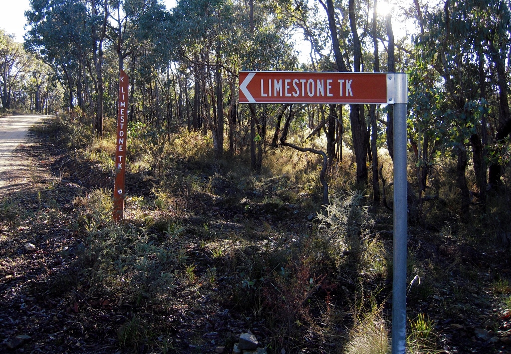
The project involves 4 visitor hubs, 8 trail headboards, and up to 100 interpretive signs along the 200+ kilometre length of the track between Ballarat and Bendigo. Consultants are currently working on the design of the project with Goldfields Track inc and Djandak, the commercial arm of Dja Dja Wurrung Clans Aboriginal Corporation.
If you’re a bit unnerved by the idea of ‘100 interpretive signs’ along the track (that would be a sign about every 2 kilometres!), so are we. However, we are assured first, that this number might be ‘only’ 75, and second, that the signs might be simple QR codes on posts. By applying a phone to the Code, visitors would be able to read off info about natural and cultural features of the point in question.
Think authorities can’t go a bit bonkers with unnecessary signs? Think again. Of course, we don’t think the present project will make this sort of mistake.
The potential value of this project is obvious, and the Djandak involvement in the project should ensure some balance is restored to the interpretation of our bushlands, too often weighted to a glorification, or sentimentalisation of gold fever.
FOBIF is watching this project with great interest.
First, we don’t want a proliferation of signs to disturb the serenity of those parts of the Diggings park most notable for their feeling of abandonment and isolation. Parts of our bushland are already cluttered with unnecessary or out of date signs, a clutter which definitely does not add to the ‘natural’ experience.
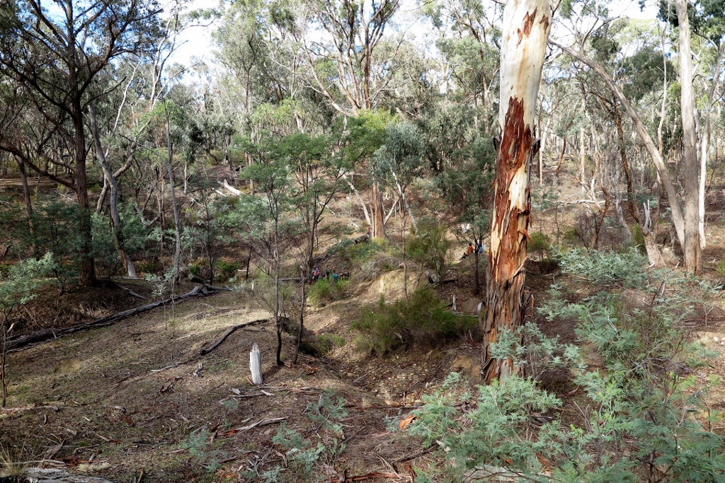
FOBIF walkers taking a rest, Sebastopol Gully: parts of the Diggings park would be spoiled by an excess of signage.
Second, we believe that any serious explanation of the goldfields landscape should include information about the destructive effects of the gold rush. Any visitor to our region must be struck by the number of eroded waterways and clearly degraded land. Any signage offering information about the region must include an explanation as to how this happened, and a sober account of what happens when rampant pursuit of wealth overrides all other concerns.
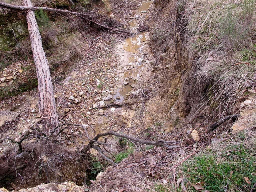
Brown’s Gully near the Goldfields Track crossing: the innumerable degraded streams in our region are part of the price we have paid for gold. Explanations of these landscape features should be provided in the relevant places.
The consultants’ approaches to these questions seem constructive. One question about the project is still not clear to us, however: the role of Parks Victoria. The Goldfields Track traverses significant parks in this region, and Parks Victoria is supposed to have a major role in community education on the value of these lands. In recent years, Parks seems to be more interested in tourism than in education. We’ll see what constructive input PV might have in this project.


 Click on image for info/order page
 Click on image for info/order page
 Click on image for info/order page

")


")


Rather than waste money on more totally unnecessary signs cluttering up the bush an informative booklet would be more appropriate for people interested in local features. People who are interested and enthusiastic enough to walk the Goldfields track will probably already have one of the existing booklets and would not appreciate more signage. Who is promoting this and what are they getting out of it?
I wonder if they will be putting up signs on the previous prescribed burns,explaining the huge fire risk they have created with impenetrable regrowth. LOL