
Nioka Mellick-Cooper was the main organiser of this walk and she wrote the following post:
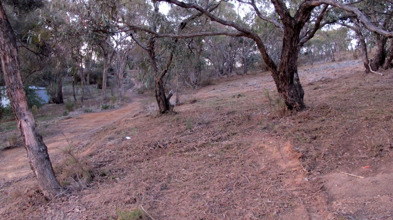
The first 2015 youth bush walk took place on the Mount Alexander (Leanganook) and was a great day. There were 28 people that came bright and early to do the scramble.
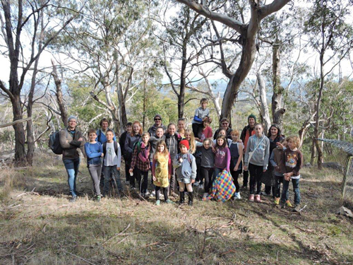
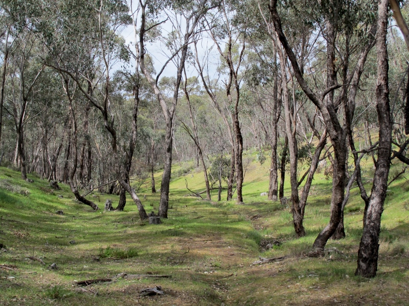
On top of Mount Alexander
We all met and wrote our names in the book at the Continuing Ed building, and then got on the buses and drove up to the starting place.
The walk was roughly 2 hours long (around 4km) and was a very enjoyable experience.
As we walked we saw many things including kangaroos browsing, and stopped at Dog Rocks for some morning tea. Here we heard a story told by Max from Connecting Country who kindly came on the walk with us, which had everyone entertained.
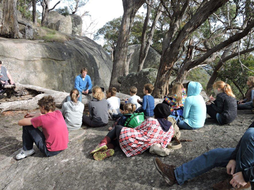
Max Schlachter talking to the group on Dog Rocks.
When we returned from the walk, lunch was provided, with a chance to refresh ourselves, and have a chat before we got back on the buses to return to Castlemaine.
The day was a success and we’re ready for the next one.
The Youth Bush Walk program is funded by the Mount Alexander Shire Council Youth Grants Program.


 Click on image for info/order page
 Click on image for info/order page
 Click on image for info/order page

")


")


