FOBIF July walk: Exploring the valleys

Yesterday’s FOBIF walking group was divided into two for the expedition into the upper reaches of the Columbine Creek catchment—COVID 19 regulations obliging us to keep each group’s numbers below ten. The two groups approached the circuit from opposite directions, crossing briefly half way.

One of FOBIF’s July walking groups: social distancing made getting this photo a tricky business, but perspective did the job—get that depth of field!

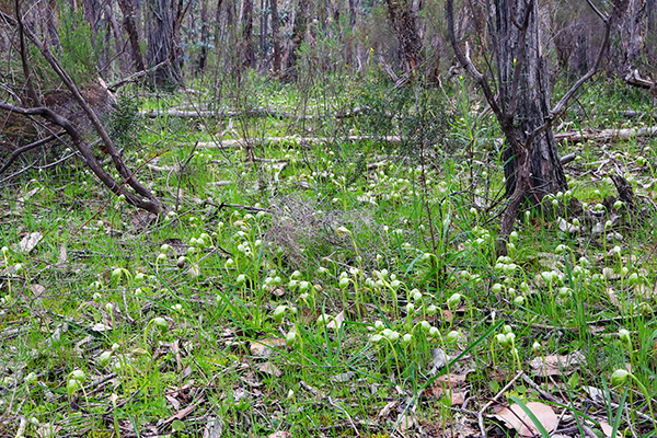
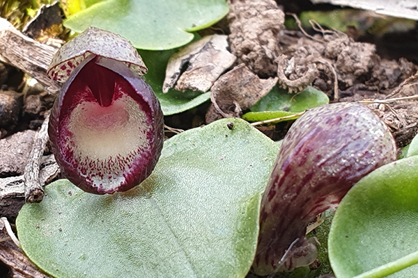
The day turned out to be good winter walking weather,  brisk but dry, with patches of bright sunshine and little wind. The area looks to be on the verge of a great wildflower season, with Hill Flat-pea starting to bloom, plenty of wattles,  Grevillea alpina, and masses of Pink Beard Heath a week or two away from a spectacular show. Abundant fungi gave the groups plenty of opportunities to pause, and there was the odd orchid to add variety.

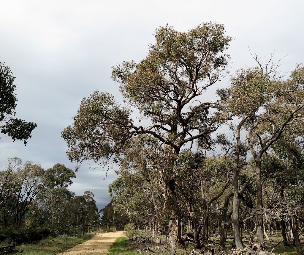
This walk gave the groups access to some of the least spoiled corners of the region, with a striking number of mature trees. Our thanks go to group leaders Jeremy Holland and Bernard Slattery.

Next month’s walk is planned for the hills beyond the Expedition Pass reservoir.  Owing to ongoing uncertainty about COVID 19, arrangements for this walk cannot be confirmed yet. Please check this website closer to the due date.

Posted in News, Walks | 2 Comments

Next FOBIF walk on 19 July

The planned FOBIF walk led by Jeremy Holland will take place next Sunday 19th July. We will meet as normal at Community House in Templeton Street, Castlemaine at 9.30am.

Total walk distance will be 8.5 km and you will need to bring lunch for a mid afternoon finish. We will be walking in the Columbine Creek and Stony Creek area. There is more information on our walks page.

Due to current restrictions and regulations we can only have a maximum of 10 people in a group on the walk. We are therefore requesting that people register with FOBIF (info@fobif.org.au) by next Friday 17 July if they are planning to go on the walk. If there are more than 10 people we will divide up and have two separate walks groups of 10 or less. We will confirm your registration before the walk. Alternatively ring Bronwyn Silver by Friday on 0448751111.

We will also be practicing social distancing on the walk and not car pooling to the start of the walk. 

For more information contact  Bronwyn Silver 0448 751 111.

Posted in News, Walks | Comments Off on Next FOBIF walk on 19 July

What is it? And where is it going?

So: what’s that grey discolouration in the water of Forest Creek at the Wheeler Street bridge, after rain last week?

Answer: It’s pollution runoff come down the gutter from somewhere in the town. We won’t speculate as to exactly what works–in fact, it’s reasonably common for rubbish and other pollutants to pour into the creek at this bridge, and pedestrians passing over it at almost any time of the year would be able to peer over the edge and get an insight into the less attractive aspects of our culture, as we’ve pointed out before.

The grey flow coming down the Wheeler Street gutter contrasts with the relatively clear water coming down Forest Creek. The great Australian tradition: pour it down the creek, and it will go away…


This discolouration is a bit different from your normal junk, though. It looks like construction waste, and it’s a reminder that there’s a great Australian tradition we could do without: treating our creeks as drains carrying the debris of our industrial system out of sight. That grey colour puts the observer in mind of…that’s right: sludge.

Sludge: a toxic mix of ‘thick, semi-liquid slurry of sand, clay, gravel and water that flowed out of mining operations.’

Readers of one of last year’s horror publications, Sludge—disaster on Victoria’s goldfields (Latrobe Uni Press and Black Inc) will know that throughout the second half of the 19th century mining sludge in terrifying volumes was dumped into our waterways. In fact, the embankments at that point in Forest Creek were built in 1860 to divert sludge from mining works  away from the town of Castlemaine. Those walls have a kind of charm nowadays, but we shouldn’t forget that they were built to turn the creek into a  drain.

FOBIF recommends Sludge as a good read for Coronavirus times. It’s not exactly joyous reading, but it’s a handy reminder of times when there was virtually no restraint on industry’s tendency to trash the environment, when protests by farmers and citizens against the destruction of our waterways were powerless against mining interests. Those were the days when ‘cows wandering down to drink at Campbells creek in Castlemaine routinely got bogged and half drowned (in sludge)’; when Laanecoorie lost half its capacity in its first 40 years, silted up with sludge; when sand slugs clogged up the Loddon at Newstead, reducing its capacity to form deep pools (they’re still there). Levee banks five feet high were powerless to protect farmland against the flow. The situation was in some ways bizarre: a bloke at Fryerstown got a permit to withdraw 68 million litres of water a day from the Loddon—twice its actual flow!

These are practices we’re still paying for, as the book points out. It’s handy to keep that in mind when people complain about ‘green tape.’

Meanwhile, Forest Creek is sometimes a striking reminder that bad habits die hard.

Posted in News | Comments Off on What is it? And where is it going?

A track to nowhere

Speaking of tradition: we occasionally hear complaints that conservation reserves ‘lock up’ public land, and deprive people of their traditional rights, including the right to drive anywhere they like.

The fact that millions of Australians visit our reserves each year rather dents the ‘locked up’ claim. But it’s  true that sometimes conservation does require restrictions of access, or at least of some kinds of access. And here’s a possible example: maybe this track on the west side of Mount Tarrengower should be closed, to prevent further damage:

Tarrengower, west side: this track goes nowhere, and appears to exist solely to provide sport for people who love tearing up the land.

The track in question doesn’t serve a useful purpose, unless you count as ‘useful’ the chance for tough people in heavy vehicles to rip up a bit of dirt. The process is simple, and has the inevitable result of forming deep grooves, some nearly a metre deep. These become undriveable, and so the drivers in question just form another road, and repeat the dose:

Ruts on tracks relentlessly develop into erosion channels.

The result is, of course, erosion, especially on the steeper sections of this track.

As the track deteriorates and becomes undrivable even for the toughest of tough guys, new tracks are created, as seen on the left of this picture.

FOBIF has asked Parks Victoria if it has a policy about keeping this track open. It’s not always easy to close tracks, because of that old chestnut about ‘locking up’ the land: but in this case, it’s hard to believe anyone could credibly claim a public benefit in leaving it open. The environmental damage is clear. Not all traditions are good–and the ‘tradition’ of tearing up the country for fun is no better than pouring sludge over it.

Posted in News | Comments Off on A track to nowhere

NEW FOBIF greeting cards

Eight new FOBIF greeting cards (series 2) are now available. They feature photographs of our local bushlands by Frances Cincotta, Joy Clusker, John Ellis, Patrick Kavanagh, Sarah Koschak, Doug Ralph, Bronwyn Silver and Albert Wright. Our first series has now sold out.

You can see the whole image for each new card by clicking on the thumbnails below. Each folded card is 10 x 14.5 cm with details of the photograph on the back.

They are available for sale as a set of 8 with envelopes. Cost for the 8 cards including postage is $20. Click here for purchase details.

You can also buy the cards at Buda, 42 Hunter St, Castlemaine, Friday to Sunday, 1-4 pm. They have a few earlier sets of our cards for sale as well as series 2. 

Posted in News | 2 Comments