
Whatever its merits, VEAC’s draft report on heritage places is notable for one baffling deficiency: its failure to consider landscape as a heritage ‘place’. More specifically, it’s clear that the Castlemaine Diggings National Heritage Park is considered, in this report, to be a collection of mining sites, not a landscape.
How can we tell this?
Table 2.2 of the document lists heritage places by type. ‘Landscape’ is declared to have only one sample of this type. What is it? To find out, we go to Appendix 2, where the only example listed is Tower Hill State Game Reserve.
How has VEAC, whose responsibility has largely been in environmental matters, managed to exclude landscape from its considerations?
The answer is to be found on page 30, in a discussion of Indigenous views: ‘It is important to note that although VEAC’s focus is on the management of specific places on public land, Traditional Owners customarily have a broader view that every part of the landscape is of significance, including landforms and the whole landscape itself, not only those places where associations are evident or documented.’
It seems that VEAC hasn’t been able to adopt something like this broader view itself. It looks like the Diggings Park, as a landscape, has slipped into the too hard basket.
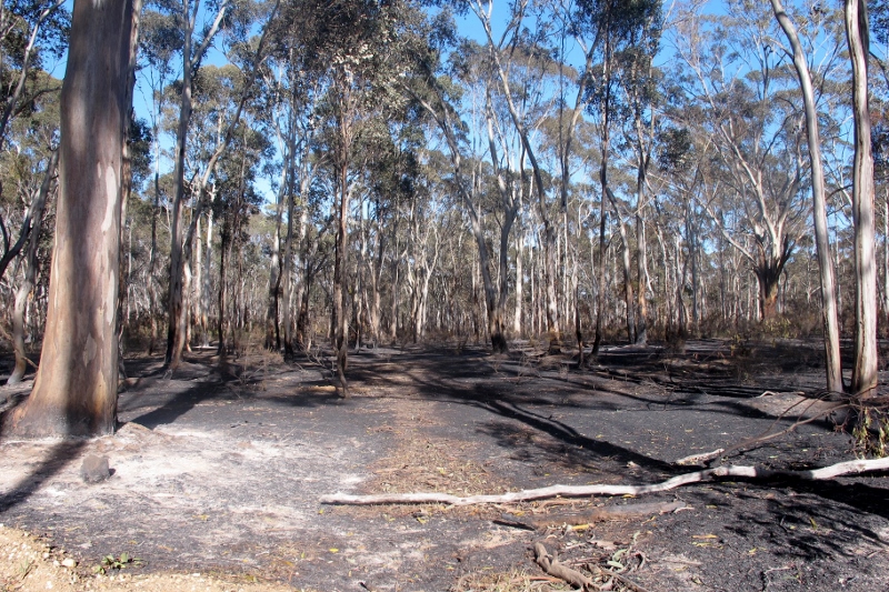
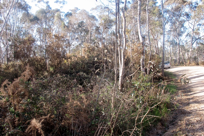
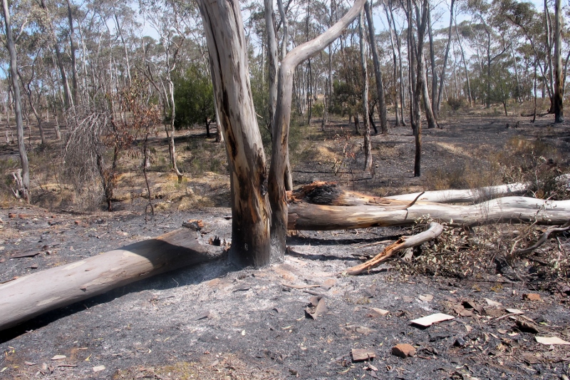
This is a curious deficiency. The Park is described by Parks Victoria as ‘the largest non-indigenous protected cultural landscape in Australia.’ Its National Heritage listing, bland though it is, offers this: ‘Situated within regenerating box-ironbark forest, the mining remains and habitation sites immediately convey to the visitor a feeling of passed [sic] ways of working and living. The great number and extent of remains reinforces to the visitor the historical significance of the goldfield. The degree of alteration of, and intervention in, the natural landscape makes a strong impression on visitors. The Castlemaine diggings are a place of strong aesthetic significance. The attributes include the wide expanses of regenerating box-ironbark forest, the landforms of hills, ridges, gullies, creeks and rivers, together with the multitude of mining and habitation remains…’ The Victorian Heritage listing says: ‘The land and its regenerating Box-Ironbark forest is important scientific evidence in its own right in demonstrating a spectacular event of transformation of the pre-gold rush environment.’
Why does all this matter? Continue reading


 Click on image for info/order page
 Click on image for info/order page
 Click on image for info/order page

")


")


