
Tasmanian-based naturalist Sarah Lloyd has recently started a blog on Myxomycetes commonly known as slime moulds. Sarah was the guest speaker at the FOBIF AGM in 2015 where she shared her expertise on these often neglected organisms to a fascinated audience.
Sarah has been collecting and identifying slime moulds on her property in Northern Tasmania since 2010:
In the years since starting my research I have amassed over 1500 collections representing approximately 110 different species. This seems extraordinary given that all specimens have been collected within two kilometers of our house, and only 42 species had hitherto been officially recorded for Tasmania.
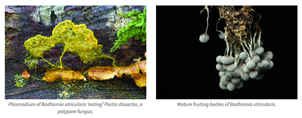
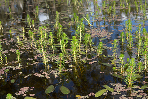
On the site and in her two recently published books on slime moulds* and Tasmanian native birds** Sarah uses plain language to draw in the general reader. And she is a terrific photographer. The two photos below from the blog are examples of her beautiful work.
So to find out everything you always wanted to know about slime moulds, click here and have a look at Sarah’s blog.
* Where the slime mould creeps: the fascinating world of myxomycetes (2014)
** The feathered tribes of Van Diemen’s Land (2015)


 Click on image for info/order page
 Click on image for info/order page
 Click on image for info/order page

")


")


