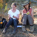
FOBIF thought it would be good to share the work of local group Connecting Country who continues to bring informative and inspiring events to our local community this year. In the past their education and engagement program has been a fantastic way for people from across Mount Alexander Shire to hear new ideas, share knowledge and learn how to implement change for gains in biodiversity and sustainability. This year’s events are no exception, with plenty of opportunities to be informed and meet others in the community doing similar work on their land.
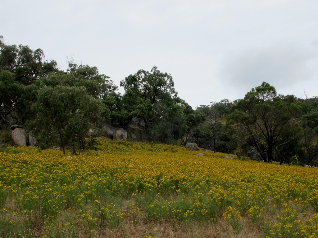
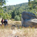
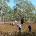
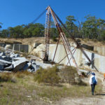
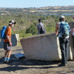
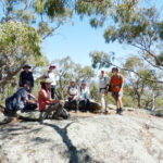
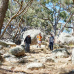
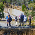
FOBIF is proudly supporting the 4th Camp Out on the Mount is on the weekend of 1st –2nd April 2017 at the Leanganook Camping Ground on Mount Alexander. Connecting Country will be working with Harcourt Valley Landcare Group and Parks Victoria to host a fun weekend for families and Landcarers as campers touch base with the natural assets on the mount. With environmental and Aboriginal cultural heritage activities for children and adults and helping with managing feral pine populations in the park this weekend has traditionally been a great way to meet others, learn about the environment and be active in taking care of this beautiful place we call Mount Alexander.To find out more and book for this event please see their website:
http://connectingcountry.org.au/landcare/2017campout/
During late April and early May Connecting Country will be running three workshops about that essential element, water. Titled ‘Water in our Landscape’, this mini program of workshops will cover, habitat creation in dams, ecological thinning and decision making when considering building pool and riffle systems. More information will be available on the Connecting Country website soon about this series.
If you’re interested in birds, (who isn’t?) in late April we will be running a Buloke and Diamond Firetail workshop. Tanya will also be running her monthly birdwatching walks throughout the year, for more information about these walks, please email her at tanya@connectingcountry.org.au or by phone on 5472 1594.
June will be a busy month as they celebrate the achievements over the last five years of the Connecting Landscapes program on the 6th of June and work with the Little Habitat Heroes Project to hold their community planting day at the old silkworm farm on Mount Alexander on June 17th.
In 2017 Connecting Country will continue to be active in the press and on-line. Their monthly ‘Nature News’ articles in the first week of each month in the Midland Express are something to look out for. You can also always keep in touch via the Connecting Country Facebook Page – do ‘like’ them!
The best way to stay informed about this great organisation is via the Connecting Country webpage and our regular emails and blogs, you can subscribe to their webpage here.
Alternatively you can contact Naomi for more information about the Education and Engagement program on 5472-1594 or naomi@connectingcountry.org.au.


 Click on image for info/order page
 Click on image for info/order page
 Click on image for info/order page

")


")


