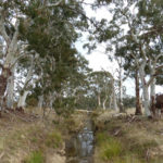
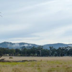
Parks Victoria has released the results of its engagement activity, ‘Strengthening Parks Victoria’. FOBIF had a go at this process last year [see our posts here and here].
As is the way of these things, a lot of energy has gone into finding out things that…well, that are reasonably obvious. Participants overwhelmingly agreed that
- Parks are vital to us and the state.
- Parks have some very real problems.
- Let’s realise the very real potential of Parks.
First, let’s give credit to PV for putting it upfront that Parks have ‘very real problems’.
Unfortunately the government’s response to this finding is pure self promotion: it’s all about the great things this government is doing, with the implication that we’re on target for perfection. We’re not.
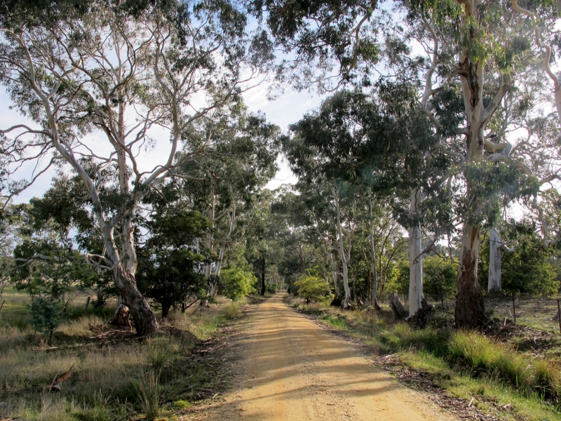
The consultation reports are too long to summarise, and are unfortunately not available on the internet. We’ll just mention one area: staffing.
Almost half of respondents emphasised the importance of park rangers, and pointed out that ranger shortages are damaging to parks in various ways. The response: money will be made available for ‘up to 60 additional rangers’.
‘Up to 60’ is somewhere between 0 and 60.
Parks staffing shrank from 1100 in 2011 to 1010 in 2016, the main cuts coming in the period of the Coalition government. In the same period Victoria’s population grew by more than half a million people. Interestingly, Parks had 1010 staff in 2006. Since then, Victoria’s population has grown by over a million people. The Parks estate has expanded, and so have visitation rates: there were nearly 38 million visits to our National Parks last year. This figure puts paid to the drivel we sometimes hear about parks being ‘locked up’. It also highlights one of Parks’ problems: there are fewer people to do more work.
‘Up to 60’ new rangers will not bring us back to where we were 10 years ago.


 Click on image for info/order page
 Click on image for info/order page
 Click on image for info/order page

")


")


