Fuel break for Muckleford forest

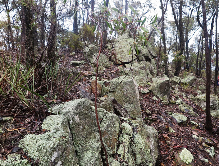
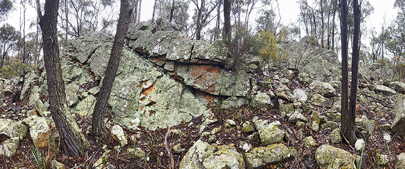
Representatives of local enviro groups met with the DELWP Strategic Fuel Breaks team in the Muckleford forest last week to look at the break proposed along Bells Lane track. This will run from from Muckleford School Rd (east) to Roberts Rd (west)–see the map below. It will be 8 metres wide, on the north side of the road only. It roughly duplicates a wider fuel management corridor in past fire operations plans.

Vegetation in the break will be mulched to between 10 and 30 centimetres; it’s proposed to mulch again in 5 years.

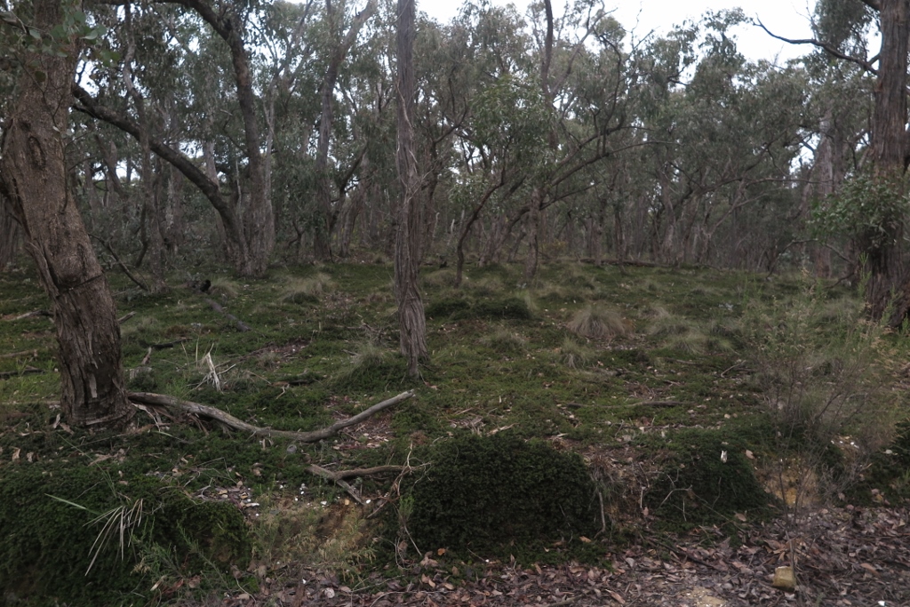
The purpose of the meeting was to identify areas of ecological or cultural significance for exclusion. Vegetation along the track varies from extremely sparse to very healthy. Patches of this healthy vegetation were noted by the team, and we are assured they will be excluded from the mulching exercise.

As we’ve reported before, FOBIF has no problem in principle with fuel breaks around settlements. Breaks through forest areas are more problematic, and the potential for damage to high quality vegetation is more serious. These exercises illustrate the difficulty of achieving fire safety ends without damaging the environment.

So far, the fuel breaks team has shown an impressive attention to detail in the planning of these breaks. One of the key factors in this process is the skill and commitment of the works crews. We are assured that in this project the contractors are fully briefed. Bell’s Lane will be an interesting test, and will be a bit of a rehearsal for the proposed work through the Fryers Forest, where the potential for a horrific scar through high quality biodiversity is very real.

Works on the break are due to start in June.

Posted in News | 2 Comments

All threats averted

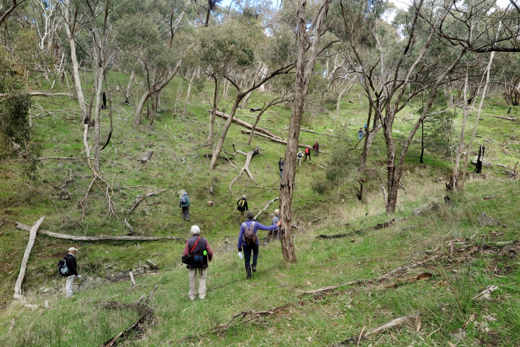
A small group of heroes tackled FOBIF’s May walk, in spite of unfriendly weather forecasts and a slightly forbidding walk description, which piled threat on threat: climbs, creek crossings, fallen logs and loads of gorse.

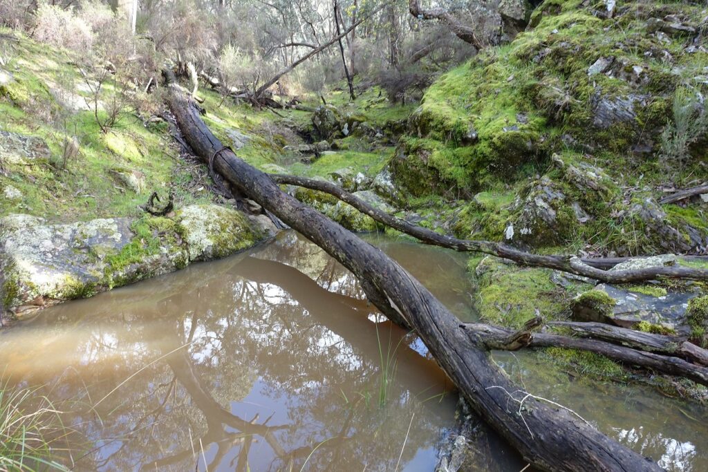
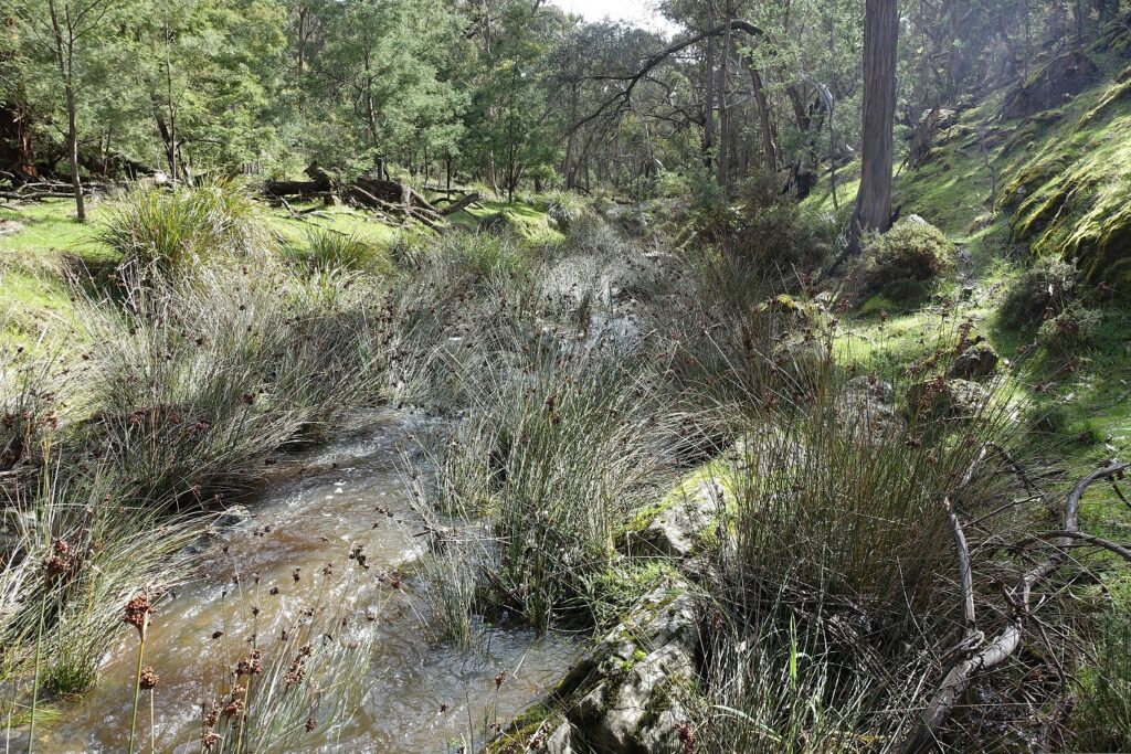
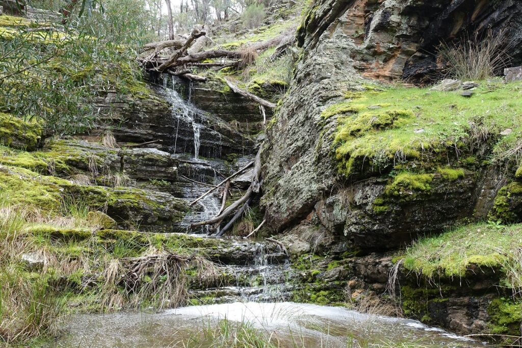
All participants survived this grim prognosis, however, and the excursion into the less travelled end of the Tarilta gorge delivered rewards definitely worth the effort, including impressive valley walls and good displays of fungi. The valley floor features magnificent Candlebarks, and there’s an unusually wild atmosphere in this corner of bushland.  The weather was mild throughout. The gorse, though predictably annoying, proved to be a paper tiger, albeit a prickly one. OK, that’s a mixed metaphor, probably. In any case, it’s worth pointing out that the infestation of Tarilta Creek by gorse, from Mount Franklin down, is quite scandalous. Though at its worst at the south end, the weed is gradually getting worse through the valley, and it would be good to think that DELWP had some kind of strategy to deal with it.

The walk route traversed areas in which dense regrowth of Messmates and Wattles, almost certainly outcomes of the 2012 management burn, blocked out entire gullies.

Our thanks to walk leader Bernard Slattery, although he made several predictions of disaster which failed to eventuate.

The June walk will be led by Christine Henderson in the Fryers Forest. Check the program for details.

Posted in News | 2 Comments

Tarilta, south end

FOBIF’s May walk will tackle the Tarilta creek valley from the Sawpit Track end, the starting point being  about a 30 minute drive from Castlemaine.

This is the less travelled end of the valley: there’ll be steep ascents and descents, uneven ground, possible wet creek crossings, fallen logs to traverse, and some annoying gorse to negotiate–but, of course, it’ll all be worth it. About 7kms. See the walks page for more general details.  More info: Bernard Slattery 0499 624 160

Posted in News | Comments Off on Tarilta, south end

Where should the signs point?

A project is under way to install new visitor information points along the Goldfields Track.

The project involves 4 visitor hubs, 8 trail headboards, and up to 100 interpretive signs along the 200+ kilometre length of the track between Ballarat and Bendigo. Consultants are currently working on the design of the project with Goldfields Track inc and Djandak, the  commercial arm of Dja Dja Wurrung Clans Aboriginal Corporation.

If you’re a bit unnerved by the idea of ‘100 interpretive signs’ along the track (that would be a sign about every 2 kilometres!), so are we. However, we are assured first, that this number might be ‘only’ 75, and second, that the signs might be simple QR codes on posts. By applying a phone to the Code, visitors would be able to read off info about natural and cultural features of the point in question.

Think authorities can’t go a bit bonkers with unnecessary signs? Think again. Of course, we don’t think the present project will make this sort of mistake.

The potential value of this project is obvious, and the Djandak involvement in the project should ensure some balance is restored to the interpretation of our bushlands, too often weighted to a glorification, or sentimentalisation of gold fever.

FOBIF is watching this project with great interest. 

First, we don’t want a proliferation of signs to disturb the serenity of those parts of the Diggings park most notable for their feeling of abandonment and isolation. Parts of our bushland are already cluttered with unnecessary or out of date signs, a clutter which definitely does not add to the ‘natural’ experience.

FOBIF walkers taking a rest, Sebastopol Gully: parts of the Diggings park would be spoiled by an excess of signage.

Second, we believe that any serious explanation of the goldfields landscape should include information about the destructive effects of the gold rush. Any visitor to our region must be struck by the number of eroded waterways and clearly degraded land. Any signage offering information about the region must include an explanation as to how this happened, and a sober account of what happens when rampant pursuit of wealth overrides all other concerns.

Brown’s Gully near the Goldfields Track crossing: the innumerable degraded streams in our region are part of the price we have paid for gold. Explanations of these landscape features should be provided in the relevant places.

The consultants’ approaches to these questions seem constructive. One question about the project is still not clear to us, however: the role of Parks Victoria. The Goldfields Track traverses significant parks in this region, and Parks Victoria is supposed to have a major role in community education on the value of these lands. In recent years, Parks seems to be more interested in tourism than in education. We’ll see what constructive input PV might have in this project.

Posted in News | 2 Comments

Walkers ascend Mount Alexander

In perfect Autumn weather seventeen people joined in the second FOBIF walk for the year last Sunday. The loop route on Mount Alexander involved some hard sections including a solid climb from Forest Creek up to the Goldfields Track. Views were magnificent and everyone benefitted from Jeremy’s leadership and Frances Cincotta’s expert plant identification. 

Walkers at Dog Rocks. Photo by Michael Muldowney

Frances sent us the following summary:

“On the walk along the western boundary of the park we climbed between Messmate Stringybarks and Manna Gums with an understorey of Lightwood, Blackwood and Hop Bush, as well as serious environmental weeds including Briar Rose, Blackberry, St John’s Wort and Bridal Creeper. It was pleasing to see so many fallen trees and branches and standing dead trees which provide great habitat. Ecological wood is often a sadly missing component of our State Forests which are still plundered for firewood.

We only saw a few species flowering – Manna Gum Eucalyptus viminalis, Bluebells Wahlenbergia species, Showy Isotome Isotoma axillaris, and some Sticky Everlasting Xerochrysum viscosum). However the mountain with its rugged boulders and look-outs provided much of interest.”

FOBIF walkers at last lookout Mountt Alexander. Photo by Frances Cincotta

Thanks to Jeremy for another great walk.

Our next walk will be on 15 May to the south end of Tarilta. This 7 km walk will include some rough tracks and steep terrain. Check here for more information.

Posted in News, Walks | Comments Off on Walkers ascend Mount Alexander