
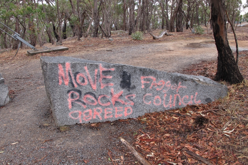
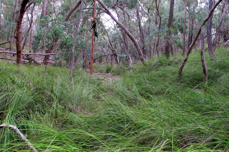
FOBIF has written to the Mount Alexander shire regarding the off lead dog park proposed for the Botanical Gardens. The relevant parts of the letter follow:
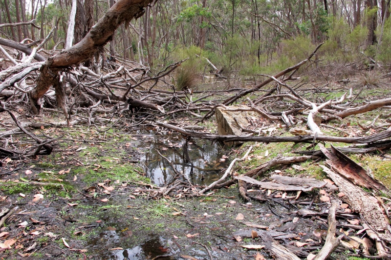
‘While FOBIF believes that an off lead park is a good and common sense idea, the location of the current proposal being right next to the ‘bush’ section of the gardens is our first cause for concern. Although the dog park is to be fenced, we’re worried that dogs might access the bush section on their way to and from the park. The bush area is home to known colonies of the Eltham Copper Butterfly which is listed as a threatened species under the Victorian Flora and Fauna Guarantee Act 1988 and should be considered by council as a valuble asset in our shire.
‘Our second concern is that the area which has been proposed as the dog park is known to have infestations of needle grass weeds. One of the ways they are spread is via furry animals such as dogs. These weeds are highly invasive and FOBIF believes the dog park should not be put in the proposed site while the current infestations remain uncontrolled. FOBIF would like to see all visible needle grass in the area destroyed, followed by removing all newly germinated or previously missed needle grass every year until no more needle grass is seen for several years. This would help prevent the proliferation of these weeds in our shire and the future expense of dealing with these currently manageable populations of needle grass weeds. (As the timing and sequence are critically important to getting rid of these weeds, we recommend using the enclosed procedure or contacting a needle grass expert… for advice.)
‘FOBIF would like Council to put the dog park in a more appropriate place. However if Council decides to go ahead in the proposed area, we would like some of the budget for the park to be allocated to this weed control prior to implementation of the park. It is likely to take years to eradicate needle grass completely from the area due to the seed bank in the soil. But we believe it is essential to get rid of existing plants before work starts, and if the dog park is opened before total eradication takes place, to do follow up control each year until the eradication is complete.’
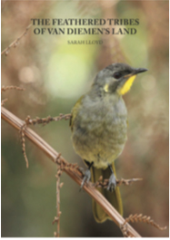


 Click on image for info/order page
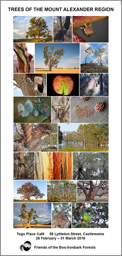
 Click on image for info/order page
 Click on image for info/order page

")


")


