
It’s been five years since our rivers, swamps and dams have reached their present water levels. Although rainfall hasn’t led to floods like 2011, records have been broken. Rainfall for 14 September this year was a record high of 53.0 mm and the total for the month was also a record high of 161.9 mm (average 60.9 mm). As well, the average minimum September temperature was a record high of 8.4°C (average 5.0°C).
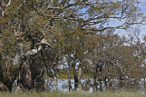
Submerged Red Gums, Moolort Plains, 24 October 2016
It wasn’t just wet in September; so far this year we have had a total of 692.3 mm of rain (average for the same period, 512.1 mm). This represents 35 per cent more than average rainfall. These average statistics are taken over a 48 year period recorded at the Castlemaine prison.
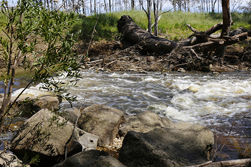
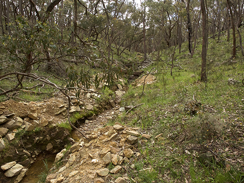
Loddon River flowing fast in Newstead, 24 October 2016
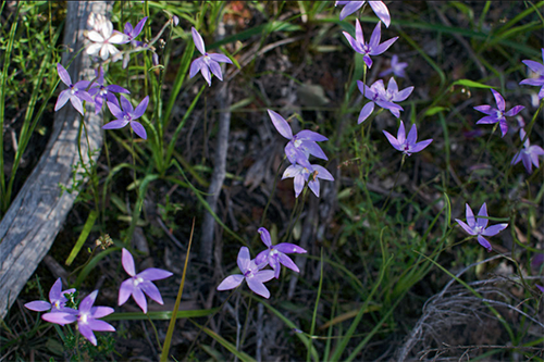
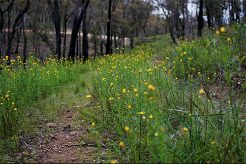
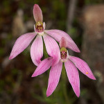
All this rain has meant we have been able to enjoy spectacular wildflower displays. Last week Janet Barker took these two photos of masses of Wax-lip Orchids in Kalimna Park and masses of Shiny Everlastings in Chewton.


 Click on image for info/order page
 Click on image for info/order page
 Click on image for info/order page

")


")


