
Here’s a good reason to make it into the Bendigo CBD: go to the library! OK, there are libraries elsewhere in the region, but the one in the CBD has a trump card right now. It’s an aquarium, more than three metres wide, celebrating Bendigo Creek: not the gutter prominent in the city, but the creek as might have been…and could be? The aquarium features more than a dozen species of native freshwater creatures, and is a bit of a wonder.
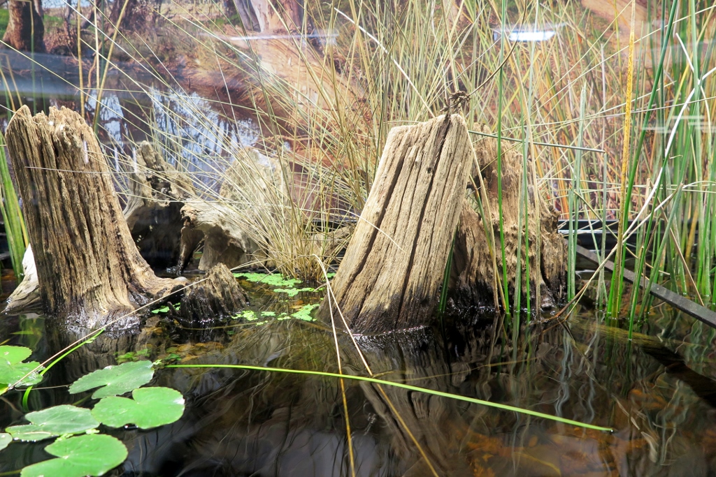
Part of the aquarium celebrating Bendigo Creek…the view is even better under the water.
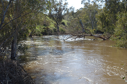
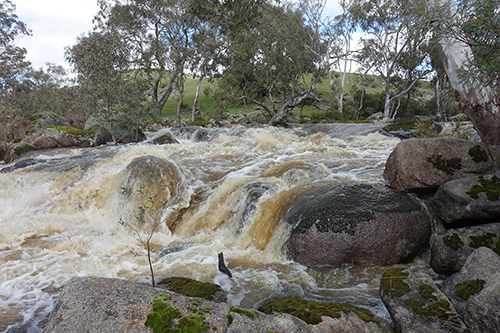
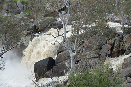
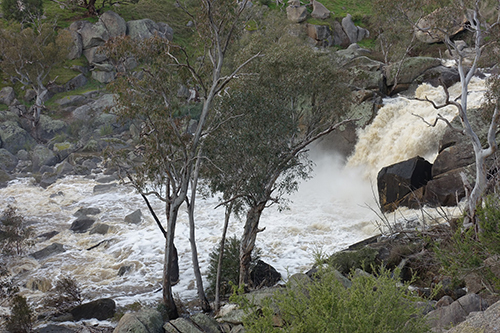
The creek’s history is an environmental horror story: if you haven’t seen it, check out the late Gerry Gill’s short history in his ‘The map and remembrance’ film series. You can find it here or here.
Gerry’s film compare’s the idyllic images we have of the creek before the gold rush with the depredations of the golden age, and celebrates the efforts of landcarers and managers trying to restore the creek. The aquarium is not only an eye opener for what it shows of under water life, it offers a bit more motivation to ‘care for country’.


 Click on image for info/order page
 Click on image for info/order page
 Click on image for info/order page

")


")


