
Another 40 millimetres of rain on Monday, added to the previous week’s drop, gave a bit of extra push to local waterways, which at the time of writing had approached, but not quite reached, the levels of the flood years. With forecasts suggesting we could have more rain, and a section of Gingell Street Castlemaine under water this morning, the future looks…interesting.
Forest Creek from Happy Valley Road, September 14: forty millimetres of rain the day before gives it a quite respectable volume…
One interesting feature of the flood waters this time, as in many previous such events, is the amount of soil carried in the water. In the case of Forest Creek, this seems to be sourced partly above Expedition Pass [the reservoir was quite brown on Wednesday], partly from sources in the Chewton Bushlands and Fryers Forest, and partly from unsealed roads in Castlemaine itself. In any case, the washaways suggest poor vegetation coverage in our catchments.
Already, there has been the odd whisper that floods are caused by too many trees along the creeks and rivers, which, it is claimed, ‘need cleaning out.’ Those interested in this old furphy might want to have a look at our previous posts on the matter, here, here and here.
Here are a few more flood photos:
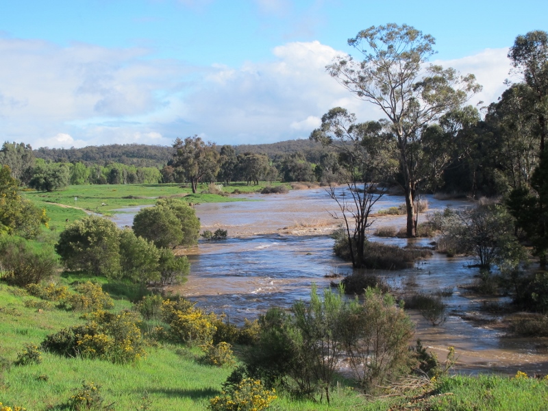
Forest Creek from the ‘lookout’ at Wesley Hill, September 14…
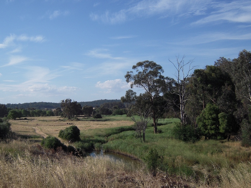
…and the same scene before the recent heavy rains.
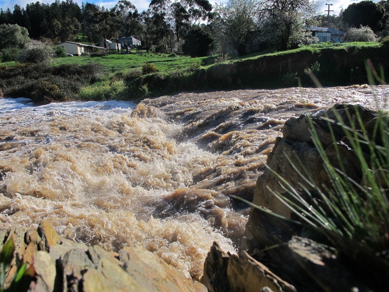
Forest Creek near North Street Chewton, September 14: held into a narrow channel by walls, the creek makes an impressive set of rapids.
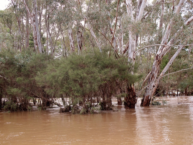
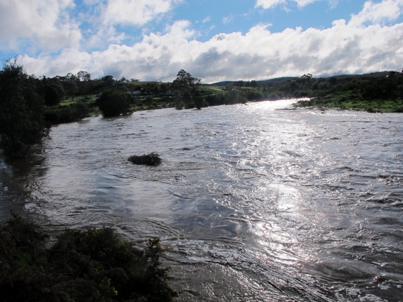
Not quite the Barmah Forest: Forest Creek-Barkers Creek Junction, September 14.


 Click on image for info/order page
 Click on image for info/order page
 Click on image for info/order page

")


")


May well it be be lack of vegetation, but the reality is that the soil washed down to the flood plains of our creeks and rivers is what created the fertility long before any clearing for mining or agriculture, that is why they were the choice places for agriculture pre dredging,etc. We should rejoice that the flood plains are still making an attempt to behave as flood plains, there is a perception amongst some they should just function as drains to suit our idea of what a waterway should be. We all make choices as to where we live and accept the risk, if you live on a flood plain then it may flood.