
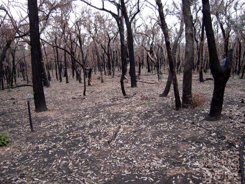
Fire officers met the public in a lengthy consultation session on the draft Fire Operations Plan [FOP] through the afternoon and evening of last Tuesday [August 11] in Bendigo.
An excellent link to the relevant documents with comments on the FOP in the Muckleford-Maldon area can be found in the Muckleford Forest Blog. In addition to burns discussed there, FOBIF is most interested in proposed burns in the Taradale, Tarilta and Fryerstown areas.
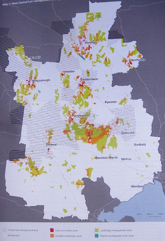
We’ve reprinted this map before, but think it’s worth another look: the ‘priority fuel management areas are in mid grey, and they’re on private land. It’s not clear how they relate to ‘asset protection’ zones near settlements. Source: Strategic bushfire management plan, West Central bushfire risk landscape.
Aninteresting feature of the consultation was the display of Risk Landscape material. Readers will remember that this is the system most likely to replace the current crude five per cent burning target.
It was clear from discussions with officers that as far as on ground work is concerned, it’s early days with this system. For example: as is clear from the map above, most of the ‘priority fuel load’ areas in our region are on private land: yet we were told on Tuesday that negotiations via the CFA and municipal councils to undertake systematic fuel reductions in these areas are not far advanced: and that nothing had yet taken place on the ground in the Mount Alexander shire.


 Click on image for info/order page
 Click on image for info/order page
 Click on image for info/order page

")


")


