May FOBIF walk

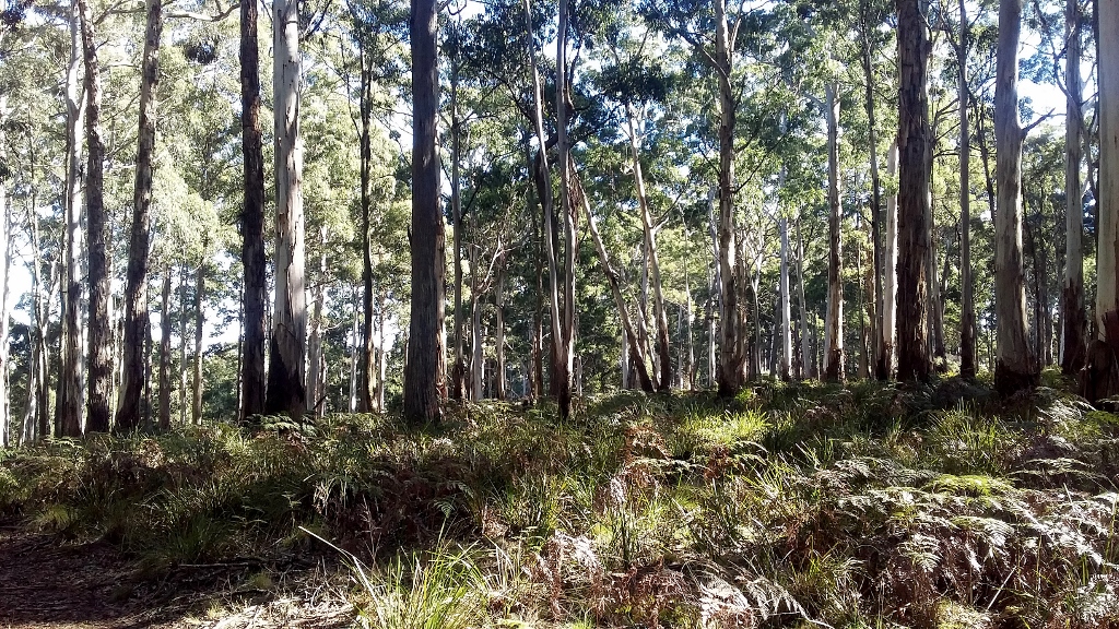
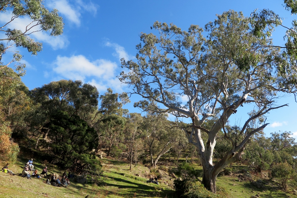
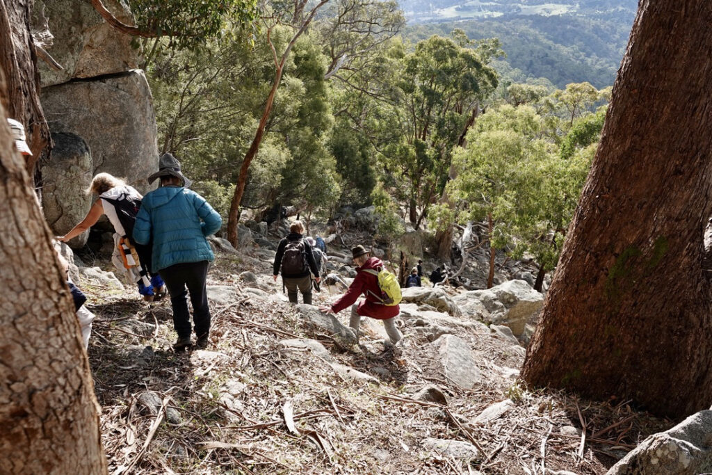
Our next FOBIF walk will be at Pilchers Bridge Nature Conservation Reserve on Sunday 16 May. The Reserve is 30km NE of Castlemaine. There is no need to book for this walk and everyone is welcome. Bring fungi and eucalypt guides if you have them.

We will meet as usual at the Community House in Templeton Street at 9.30 and drive in convoy to the start of the walk. The walk’s leaders, Joy and Di, will meet us at the corner of Axe Creek Road and Steens Road at 10am. 

For more information contact Joy 0403828566 or Di 0429861192.

Posted in News, Walks | Comments Off on May FOBIF walk

It was super but not pink

Supermoon yet to reach its full size near the summit of Mount Alexander. 6pm, 27 April. 

A ‘pink’ supermoon lit up the sky above Australia last Tuesday night. The moon, which began rising around 5:30 pm, appeared 17 per cent bigger and 30 per cent brighter than usual. Several small groups gathered at different vantage points on Mount Alexander to watch it rise.

Although stunning, this supermoon is not actually pink. The description comes from American folklore where it’s named after the first pink flower of the season which is when a supermoon normally appears.

The phenomenon is caused when a full moon occurs while it is on its closest approach to earth. The next supermoon will be visible on May 25.

Another small supermoon image when it is about to set at Cairn Curran. 7.30 am, 28 April. Photos Bronwyn Silver

Spectacular supermoon photos from around the world can be found at this Guardian site.

Posted in News | Comments Off on It was super but not pink

Questions, questions…

A small group of FOBIF members took a stroll last week through a patch of the Fryers Forest slated for burning within the next two years. This is burn is coded CAS-0243 Glenluce – Columbine Creek and is in the area bounded by Hunters Track and Hunters Lane. FOBIF walkers passed the edge of this zone last year on our Columbine Creek excursion.

Like all of our bushland, this small (71 hectares) patch of bush has its own fascination. Significantly mined in the distant past, and burned by the Department in 2008, it’s variably covered with tussock grass woodland, with some areas of dense, mainly wattle, understorey. The trees are larger than most in the Fryers forest, and there are few or no coppiced trees.

In the Hunters track proposed fire zone, April 2021: a mix of tussocks and shrubs, in an area burned 13 years ago.

The unburned areas bounding this zone, especially on the western side of Hunter’s track, are a remarkable example of tussock woodland, with trees very much larger than we are accustomed to seeing in this region. FOBIF sees this unburned bush as a kind of control zone, an indicator of the effect of fire both as a fuel reduction method, and as a way of influencing the ecology of the bush.

In the adjacent forest, unburned for many decades. The photo was taken in December, when the grass was greener,  but in other respects the scene is unchanged.

FOBIF has enquired of DELWP about the burn history of this block. We have also asked questions about the recent department burn around Wattle Track, in the Fryers Nature Conservation Reserve. This varied from a moderate, patchy effort to an extremely severe and destructive fire. We’re trying to find out how our managers assessed the result of the exercise.

Our questions arise from our curiosity about the actual effects of hazard reduction burns, both ecologically and from the point of view of fuel loads. In our view, this is a very complex issue: but the political debate about it is infected with the convenient notion that reduction burns vacuum up fuel and make us all safer. Only by paying close attention to the effects of each burning exercise will a more realistic view emerge. That would require better resourcing for managers, of course.

A map of the zone in question, and other proposed management burns, can be found on the Department’s excellent interactive map here.

Posted in News | 1 Comment

What’s special about this?

A strong group took on FOBIF’s walk to Middleton Creek yesterday, our first open  walk for many months. Middleton Creek is a marvellous waterway, characterised by interesting twists and turns and rocky cliffs. Unfortunately it’s currently overrun with gorse and other weeds, evidently spreading from nearby private land, which obscure the creek’s interesting features. Fortunately the surrounding bushland in the Park is pretty weed free, and features a variety of vegetation communities, including patches of park-like serenity, like the woodland pictured below. The dense green carpets of Matted Bush-pea are striking even now. In spring its flowers are a spectacular highlight of this end of the Park.

Amanda’s Track, Castlemaine Diggings National Heritage Park: a wooded parkland of Matted Bush-pea and tussock grass.

FOBIF’s walk took in the very southern fringe of the Diggings Park, before swinging over to the Goldfields Track through Brown’s Gully. It finished with a short traverse through the zone of DSE’s disastrous 2010 fuel ‘reduction’ burn, which managed to multiply the area’s fuel load dramatically.

Part of FOBIF walking group in Brown’s Gully. The Candlebark eucalypts are among the highlights of the Goldfields Track through this area.

Our thanks are due to walk leader Bernard Slattery for this excursion. Next month’s walk is in the Pilchers Bridge NCR: check the walks program for details.

Middleton Creek in a wet year (2010): note the gorse infestation to the left of the picture. The National Heritage Park is relatively weed free.

Photos below were taken by Liz Martin. Click to enlarge. 

Posted in News | Comments Off on What’s special about this?

March geology excursion with Clive Willman

Report written by Cassia Read.

Clive Willman led members of FOBIF on a fascinating geological tour, exploring the dynamic history of volcanoes and rivers that shaped landscapes in the Mount Alexander region. Evidence of this history was visible in rock profiles and landform features at five different stops visited around Castlemaine and Guildford. The ancient story told by Clive at each of these stops is described below.

Figure 1 Clive Willman “waxing lyrical” about the mighty, ancient Forest Creek (Photo Bronwyn Silver)

Stop 1: Forest Creek Historic Gold Diggings Reserve

A short walk north of the Diggings Reserve carpark brought us to a 10m deep cutting, down through ancient alluvial sediments. The cutting was formed by miners digging and sluicing in their search for alluvial gold amongst gravels deposited by ancient rivers. This cutting reveals a profile through sedimentary layers that tell a story of high energy rivers that flowed across the Mount Alexander region around 60 million years ago (mya). At this time Gondwana was breaking up and Australia split from Antarctica to begin its slow migration north. These tectonic movements caused major deformation of Eastern Australia and the uplift of the eastern highlands. The elevated gradient of these uplifted mountains, combined with the cool, wet climate of the time, created high energy rivers that flowed north from the divide. Evidence of the energy in the ancestral Forest Creek can be observed in the poorly sorted boulders, cobbles and gravels that make up the lower layer of the profile. Much higher flow rates and water volumes than we see today were necessary to transport these large materials through the river’s course. Over time the energy in the rivers declined, perhaps as the climate dried or the slopes of mountains eroded to be less steep, until they transported and deposited only smaller cobbles and sand with pebbles and clay – now visible in the middle layer of the profile. Another episode of high energy flow followed which again bought coarser material down the river to be deposited in the upper layer of the profile.

Figure 2 This profile at the Diggings Reserve indicates wide variation in the flow of Forest Creek over geologic timescales, with boulders and cobbles at the bottom and top of the profile deposited during periods of high flow rates and finer sediments in the middle of the profile deposited during periods of low energy flow (Photo: Bronwyn Silver)

Layers of coarse material in the profile became very hard conglomerate rock. Cementation occurred as iron oxides leached out of water moving through the gravel layers and then strongly bound sediments together as the ground dried out. These almost impenetrable cemented layers greatly frustrated the miner’s efforts to reach gold in the lower layers of the profile.

Stop 2: Old Guildford Railway Station

The railway cutting near Guildford revealed three distinct rock types within a few hundred meters distance and provides a window into key events in the geological history of our region. At one end of the cutting, an ancient bedrock of deep marine sandstones and mudstones can be seen. These were formed when sediments were laid down under the sea around 468 mya. These sediments washed off a mountain range to the west and settled in an ocean basin in layers. A phase of mountain building in eastern Australia around 440 mya compressed these sedimentary layers so they folded, much like a cloth on a Laminex table that is compressed from two sides to create a series of sharp folds. Evidence of the forces operating on these sedimentary rocks is seen in the almost vertical angles of these sedimentary layers (strata) on the face of the railway cutting.

Figure 3 Sedimentary strata are oriented  at near vertical angles due to folding and uplift of South Eastern Australia around 440 mya (Photo: Bronwyn Silver)

A short walk northwards along the railway line (away from Guildford) brought us to a dramatic change in rock type, with cemented conglomerate rock overlaying the sedimentary bedrock. The pebbles and cobbles that make up the conglomerate were laid down by the ancient Loddon River, during the same period as the conglomerate from the ancient Forest Creek. In this area the layers of pebbles and gravels are cross bedded, indicating sections of the ancient river that were at an angle to the riverbed, such as longitudinal bar deposits. The interface between these ancient gravels and the bedrock is where miners found gold as alluvial gold settled at the bottom of the ancient rivers.

Trekking back towards Guildford brought us to a mining tunnel, or adit, dug into the sedimentary rock, where miners cut under the conglomerate to extract the gold bearing gravels above.

Continue reading

Posted in News, Walks | 1 Comment