
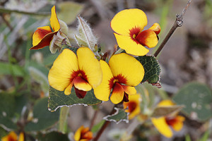
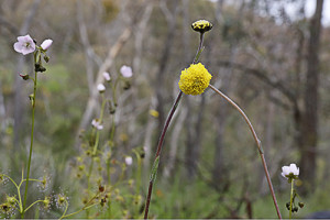
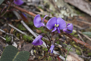
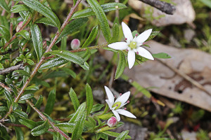
Malmsbury Landcare has organised a field day on Sunday 6 November led by Paul Foreman to look at the now severely depleted native grasslands in their district. These grasslands are currently listed as nationally endangered and even the best local sites are threatened by invasive weeds. Paul is an ecologist with a particular interest in native grasslands and works out of Castlemaine under the name Blue Devil Consulting. See this PDF file for more detail on the day. You can also ring John Walter on 5423 9383.
The event is, in part, related to Malmsbury Landcare’s project restoring native grassland species to a rehabilitated site just next to the bridge over the Coliban in the centre of town. The group will meet at 10 am at this site and then convoy to grassland sites just to the north of Malmsbury. Everyone is welcome.


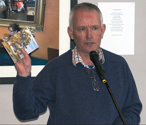


 Click on image for info/order page
 Click on image for info/order page
 Click on image for info/order page

")


")


