New Year fireworks 110,000 BC: Lalgambook!

Mt Franklin, or Lalgambook, is a volcanic scoria cone with a wonderfully preserved crater. Lalgambook was once thought to be 470,000 years old but a more accurate and surprising date was published in 2013; it turns out to be amongst the youngest volcanoes in central Victoria – a mere 110,000 years old. This is probably way too old to have been witnessed by first nation people, but they certainly witnessed eruptions in western Victoria as evidenced by the Bushfield stone axe, found buried by volcanic ash dated at about 34,000 years old.

Lalgambook would have started with a powerful and impressive display. Deposits along the north flank shows that the initial eruption was highly explosive with fragments of sandstone bedrock ripped up and mixed with scoria. This first unpredictable stage soon transitioned to a steady eruption of gas, ash and scoria fragments. The ash and scoria were thrown high into the air and quickly built the cone – scoria fragments called bombs, now seen along the entrance road, were welded together as they hit the ground. Some of the finer material would have formed an ash cloud that spread eastwards carried by the prevailing winds.

Welded scoria fragments (bombs) of all sizes can be seen along the entrance road to the Mt Franklin picnic area.

Mt Franklin was the largest volcano but several smaller eruption points are closely scattered around the mount. Lady Franklin is on the western flank of Lalgambook and an even smaller cone can be seen on the northeast side. Lalgambook would have been a mighty New Year fireworks display.

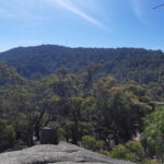
Mt Franklin is the tree covered scoria cone and Lady Franklin is the bare cone to the right.

This is the fourth post in our geology series written by Clive Willman. 

Posted in Geology | Comments Off on New Year fireworks 110,000 BC: Lalgambook!

Another year for FOBIF

About 20 members and supporters of FOBIF came to the last Monday’s end of the year BBQ in Walmer. It was an enjoyable evening with great food and lots of laughter. 

FOBIF members will receive a newsletter with the 2022 walks program in January. The program will also be on the website. 

The FOBIF committee wishes everyone a happy festive season and new year! 

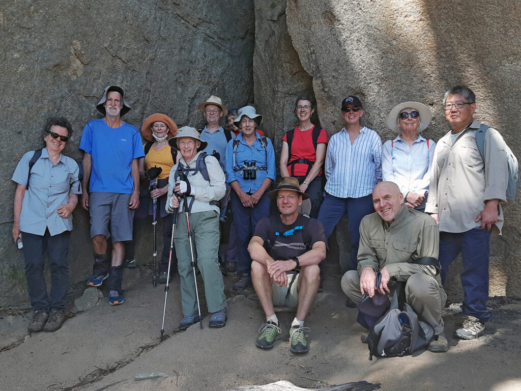
Members and supporters of FOBIF at the December breakup.

Posted in News | Comments Off on Another year for FOBIF

Liquid gold!

Quartz Hill is the site of some of the earliest reef mining in the Castlemaine area. Just
2km north of Chewton, it was one of a handful of huge quartz outcrops that demanded miners’ attention. The problem is not all quartz contains gold.

A few canny miners soon realised that of the three main types of quartz, only one was reliably rich in gold. The big outcrops of ‘massive’ or ‘buck’ quartz (photo 1) are almost completely barren and the narrow ‘spur’ veins that criss-cross the adjacent sandstone and shale are not much better (photo 2).

Photo 1: Massive but useless quartz outcrop at the Quartz Hill mine. The heritage site can be found by taking the Quartz Hill Track off Colles Road but be wary: the track has been damaged by recent rains. Alternatively from Chewton take North Street which meets Quartz Hill Track. 

Photo 2: Spur veins of quartz in ancient sandstone.

The miners left those behind for us to see but completely removed the best quartz – this had formed along a narrow fault than runs north-south along the east wall of the open cut. They worked a distinctive gold-rich laminated quartz, sometimes with thin sheets of pure gold. It had formed millions of years ago when a fluid, carrying dissolved quartz and gold, repeatedly seeped along the fault during dozens of separate earthquakes.

Amazingly, remnants of the ancient fluid are wonderfully preserved in tiny microfractures called ‘fluid inclusions’. The fluid can be probed, analysed and categorised by geochemists who find it consists mainly of water with a little CO2 and CH(methane) and often a tiny vapour bubble. Clever laboratory manipulations estimate the temperature and depth of the fluid at the time of deposition. So, 440 million years ago this hot watery fluid deposited its precious cargo at a depth of 10–15 km at a temperature of 300°C.

This is the third post in our geology series written by Clive Willman. 

Posted in Geology | Comments Off on Liquid gold!

Reminder: FOBIF breakup is next week

The annual FOBIF breakup is on at 6 pm on 13 December at Bronwyn Silver’s place, 1036 Muckleford-Walmer Road. All members and supporters are welcome.

BYO
*  food to share, including something for the BBQ if you like
*  plates, glasses, cutlery
*  drinks
*  a chair

Enquires Bronwyn: 0448751111.

Posted in News | Comments Off on Reminder: FOBIF breakup is next week

Strategic fuel breaks: an update

Work is due to start on constructing Strategic Fuel Breaks in this region by February, with priority areas being along the Vaughan-Fryerstown road, Forest Creek and Walmer State forest (see maps in our posts here and here). The Forest Creek breaks will be created via removal of flammable weeds.

FOBIF, Landcare and the Castlemaine Field Naturalists have been in discussion with DELWP about ways of achieving the safety aims of these breaks without inflicting serious damage on the bush. This concern applies particularly to Walmer SF, and in the medium term to Fryers Ridge (proposed for 2022-3).

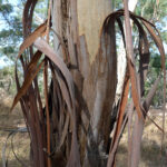
FOBIF is currently arguing for some moderate tree thinning along roadsides as an alternative to flattening 40 metre wide swathes through high biodiversity areas. As in practically everything to do with land management, the devil is in the detail: it has emerged late in these discussions that the major fire hazard in parts of our bush is not the understorey, but the predominance of Red Stringybarks. In fire conditions the loose bark on these trees can carry flame to the tree canopy, and can spot fire significant distances. We have proposed that removal of numbers of them from track sides would be as effective as understorey mulching, and less damaging to biodiversity.

A continuing question for FOBIF through these discussions is the relationship between the fuel breaks project and the fuel reduction program. An example: it is proposed to put a fuel break along Youngmans Track in the Walmer forest. Yet almost the entire length of this track is on the burn program for next year, and this entire forest has been severely burned over the last 15 years. Is the proposed break an admission that fuel reduction doesn’t work?

Meanwhile, funding has been provided for scientists from the Arthur Rylah Institute to investigate threatened species in the Walmer, Fryers Ridge, Porcupine Ridge and Muckleford areas. All of these have been nominated for fuel breaks over the next couple of years. These investigations are welcome, but we are concerned that focus on threatened species could lead to complacency about the condition of the bush generally. Threatened species are not living in islands independent of any context.

Discussions are continuing.

Posted in Fire Management, News | Comments Off on Strategic fuel breaks: an update