Report written by Cassia Read.
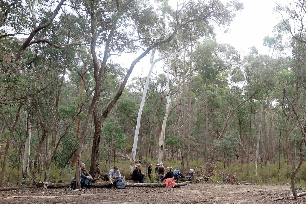
Clive Willman led members of FOBIF on a fascinating geological tour, exploring the dynamic history of volcanoes and rivers that shaped landscapes in the Mount Alexander region. Evidence of this history was visible in rock profiles and landform features at five different stops visited around Castlemaine and Guildford. The ancient story told by Clive at each of these stops is described below.
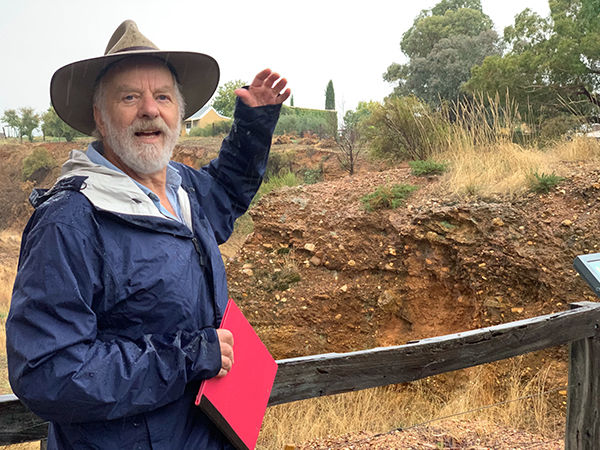
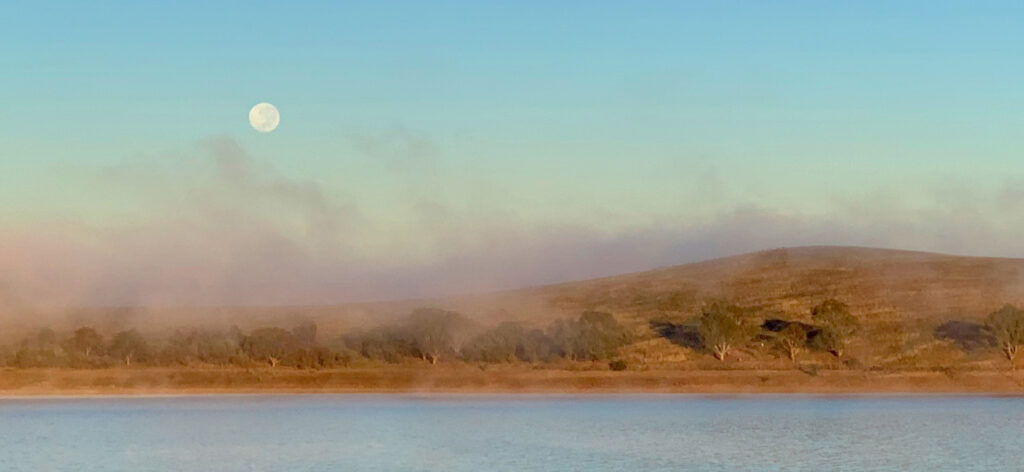
Figure 1 Clive Willman “waxing lyrical” about the mighty, ancient Forest Creek (Photo Bronwyn Silver)
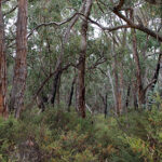
Stop 1: Forest Creek Historic Gold Diggings Reserve
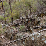
A short walk north of the Diggings Reserve carpark brought us to a 10m deep cutting, down through ancient alluvial sediments. The cutting was formed by miners digging and sluicing in their search for alluvial gold amongst gravels deposited by ancient rivers. This cutting reveals a profile through sedimentary layers that tell a story of high energy rivers that flowed across the Mount Alexander region around 60 million years ago (mya). At this time Gondwana was breaking up and Australia split from Antarctica to begin its slow migration north. These tectonic movements caused major deformation of Eastern Australia and the uplift of the eastern highlands. The elevated gradient of these uplifted mountains, combined with the cool, wet climate of the time, created high energy rivers that flowed north from the divide. Evidence of the energy in the ancestral Forest Creek can be observed in the poorly sorted boulders, cobbles and gravels that make up the lower layer of the profile. Much higher flow rates and water volumes than we see today were necessary to transport these large materials through the river’s course. Over time the energy in the rivers declined, perhaps as the climate dried or the slopes of mountains eroded to be less steep, until they transported and deposited only smaller cobbles and sand with pebbles and clay – now visible in the middle layer of the profile. Another episode of high energy flow followed which again bought coarser material down the river to be deposited in the upper layer of the profile.
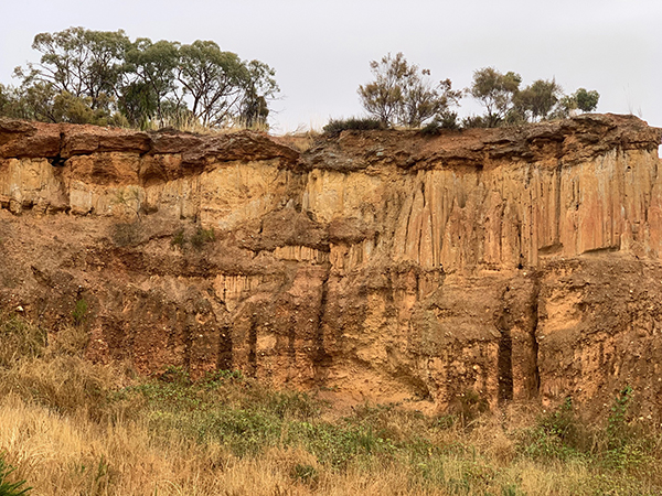
Figure 2 This profile at the Diggings Reserve indicates wide variation in the flow of Forest Creek over geologic timescales, with boulders and cobbles at the bottom and top of the profile deposited during periods of high flow rates and finer sediments in the middle of the profile deposited during periods of low energy flow (Photo: Bronwyn Silver)
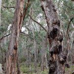
Layers of coarse material in the profile became very hard conglomerate rock. Cementation occurred as iron oxides leached out of water moving through the gravel layers and then strongly bound sediments together as the ground dried out. These almost impenetrable cemented layers greatly frustrated the miner’s efforts to reach gold in the lower layers of the profile.
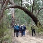
Stop 2: Old Guildford Railway Station
The railway cutting near Guildford revealed three distinct rock types within a few hundred meters distance and provides a window into key events in the geological history of our region. At one end of the cutting, an ancient bedrock of deep marine sandstones and mudstones can be seen. These were formed when sediments were laid down under the sea around 468 mya. These sediments washed off a mountain range to the west and settled in an ocean basin in layers. A phase of mountain building in eastern Australia around 440 mya compressed these sedimentary layers so they folded, much like a cloth on a Laminex table that is compressed from two sides to create a series of sharp folds. Evidence of the forces operating on these sedimentary rocks is seen in the almost vertical angles of these sedimentary layers (strata) on the face of the railway cutting.
Figure 3 Sedimentary strata are oriented at near vertical angles due to folding and uplift of South Eastern Australia around 440 mya (Photo: Bronwyn Silver)
A short walk northwards along the railway line (away from Guildford) brought us to a dramatic change in rock type, with cemented conglomerate rock overlaying the sedimentary bedrock. The pebbles and cobbles that make up the conglomerate were laid down by the ancient Loddon River, during the same period as the conglomerate from the ancient Forest Creek. In this area the layers of pebbles and gravels are cross bedded, indicating sections of the ancient river that were at an angle to the riverbed, such as longitudinal bar deposits. The interface between these ancient gravels and the bedrock is where miners found gold as alluvial gold settled at the bottom of the ancient rivers.
Trekking back towards Guildford brought us to a mining tunnel, or adit, dug into the sedimentary rock, where miners cut under the conglomerate to extract the gold bearing gravels above.
Continue reading →


 Click on image for info/order page
 Click on image for info/order page
 Click on image for info/order page

")


")


