Green waste collection? Phasing out plastic bags?

FOBIF has made a number of specific suggestions in its submission to the MAS Shire council draft environment strategy. Readers will remember we criticised the draft strategy for being abstract and general…tending to waffle, in fact.

The substance of the FOBIF submission is set out below:

‘We understand that a strategy designed to direct council activities for 10 years should be general and flexible enough to accommodate changed circumstances. Nevertheless, we are disappointed by the extreme vagueness of parts of the document.

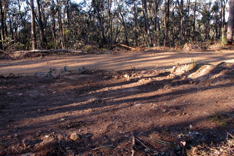
Green waste dumped near Morgan's Track: green rubbish is potentially more harmful than other types because of its capacity to spread. We suggest that Council should check out ways of reducing this problem.

Green waste dumped near Morgan’s Track: green rubbish is potentially more harmful than other types because of its capacity to spread. We suggest that Council should check out specific ways of reducing this problem.

‘We would like to make the following points:

  1. ‘On pages 10 and 12 reference is made to the ESD [‘ecologically sustainable development’] leadership, the ESD team, and the Council’s Green Team. Who are they? The fact that these terms are not defined makes the authority structure of the document quite vague.
  1. ‘Page 11: Council leadership by example: ‘appropriate ecotechnologies such as LED streetlights, and using Council’s unique statutory responsibilities to further ESD aims e.g. rate rebates for properties with a conservation covenant in place.’

‘We believe such aims need to be carefully thought through in the detail. For example, we would suggest that rate rebates should be considered for any landholder with positive conservation practices. The singling out of covenanted properties is certain to create counterproductive social tension, and would effectively penalise farmers with good land management practices.

Continue reading

Posted in News | 2 Comments

Eels, agro-forestry, banksias, fire: to find out more, go to…

Looking for  a few new ideas tossed up in good company?

The 2015 Mount Alexander Landcare Forum and Dinner will be held at the Campbells Creek Community Centre on Friday 19 June from 3.00 pm.

The program is as follows:

–3:00pm Welcome

–3:30pm Agroforestry & Landcare – A productive partnership? With Ben Boxshall from the Northern United Forestry Group and Wood 4 Good.

–Afternoon Tea

–4:30pm Applying Indigenous Fire Knowledge to Pasture management With Brendon Kennedy, Indigenous Facilitator from the North East CMA

–5:30pm Saving the Silver Banksias of Baynton Sidonia With Clare Claydon from Baynton Sidonia Landcare Group

–6:15pm Dinner and presentation on The Lake Bolac Eel Festival & Healing Walk with Una Allender & Brett Clarke – who will be performing some of his own songs at the forum.

The event is free to Landcare members and $10 for non members. RSVP to Max Schlachter by June 12 at max@connectingcountry.org.au or 5472 1594m

Posted in News | Comments Off on Eels, agro-forestry, banksias, fire: to find out more, go to…

Putting some facts on the table

Field Naturalist Richard Piesse met with DELWP officers last week to table surveys conducted by local naturalist Ern Perkins over the last ten years. The intention of the meeting was to highlight the necessity for burn operations to be conducted in full knowledge of the natural values at stake.

Some of the findings of the surveys were:

–A large percentage of the eucalypts in most of the forests are looking stressed due to the cup gum [moth?] caterpillar infestations and our ‘mini drought’ conditions.

Acacia gunnii in the Fryers Ranges,'one of Victoria's best wildflower areas.'

Acacia gunnii in the Fryers Ranges,’one of Victoria’s best wildflower areas.’

–Kalimna Park: Castlemaine must be safe from fire; but lots of KP is a wildflower paradise which should be preserved for the community and visitors.

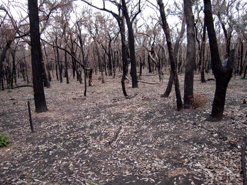
–Blowmine Track: the latest burn in 2011 destroyed good areas of bushland and the vast majority of the eucalypts

–Flame heath location on Tatt town track: a hot control burn in 2009 appears to have killed off all the flame heaths east of the Tatt Town track.

–Fryers Ridge: one of Victoria’s best wildflower areas; too many fires close to the ridge will destroy the amazing biodiversity. The last was in 2013.

–Southern end of Porcupine Ridge Road [in the vicinity of Wewak Track, Loop Track and the Great Dividing Trail] is similar to the Fryers Ridge, with a great diversity of plants, including threatened species.

FOBIF has consistently argued that all operations in our forests, including fuel reductions, should be conducted by workers fully briefed in detail on what they’re dealing with. There is a large amount of knowledge of these bushlands built up not only by field naturalists, but by Department researchers: but in the past it’s hard to believe any of it was seriously considered before fire operations began. Things may have changed: the survey info presented by Richard was positively received by the fire officers. We’ll see what happens in practice–and, of course, that mainly depends on the resources available to fire personnel.

Meanwhile, the Minister has had the Inspector General for Emergency Management’s report on fire management issues for over two weeks now, but is yet to release it.

Posted in Fire Management | Comments Off on Putting some facts on the table

Nuggetty Range walk

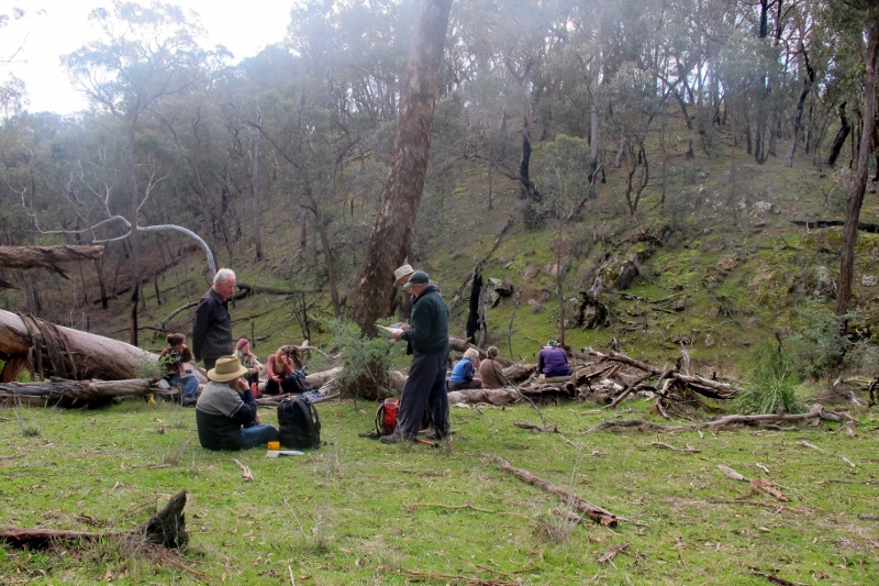
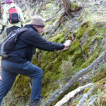
The weather on Sunday (17th May) was perfect for our FOBIF walk into the Nuggetty Range. Thirty-three people came along and it was good to see some newcomers to FOBIF on the walk.

Nuggety-walk_170515_2775

Walkers enjoying the sun and morning tea at a high point on the Range.

The group was ably led by geologist, Brian Cuffley, who had prepared maps and an introductory handout. The Nuggetty Range, he explained

is part of the metamorphic aureole surrounding the Harcourt Granite to the north. The granite has heated and hardened the slate and sandstone bedrock and has produced a hard flinty rock called hornfels. Hornfels is very resistant to erosion, thus it has formed a range about the granite which has weathered away more rapidly.

Nuggety-walk_170515_2781

This rock from the Nuggetty Gold Mine shows the contact between granite (right) and hornsfel (left).

web.Nuggety-walk_170515_2778

Looking into the Nuggetty Gold Mine.

From the Nuggetty Gold Mine, the walk continued in a westerly direction to the lunch spot at the Rock of Ages (Mt Moorul). This location also had a terrific scenic outlook. Walkers then proceeded along the Rock of Ages Track to the beginning point on the corner of Church Street and Davies Lane, Maldon.

Our next walk will be led by Bernard Slattery in the Goughs Range. See walks page for more info.

Posted in News | Comments Off on Nuggetty Range walk

Our friends the blackberries?

Walkers along the Moonlight Creek edge of Kalimna Park in the last week have been puzzled by the fact that DELWP seems to have gone to a lot of trouble to protect a mountain of blackberries from its recent management burn. This involved carving a fire break around the area, about 50 metres long, and grooming surrounding areas of vegetation.

The mountain of blackberries is more than it seems, however: it conceals–or mostly conceals–a nineteenth century ruin, with adjacent orchard. Looked at with that in mind, it’s quite an evocative sight.

You could walk past it and see only blackberries, but it's actually a historic site, probably dating from the 1870s. The wall of the ruin is to the right.

You could walk past it and see only blackberries, but it’s actually a historic site, probably dating from the 1870s. The wall of the ruin is to the right.

FOBIF had assumed that after the fire exercise had been finished, Parks Victoria would go back and remove the blackberries from the ruin. This is not the case: it’s a depressing fact that the weed is being left there, because it is seen as a deterrent to vandals who might be inclined to come and steal stone from the building.

This isn’t great news, given that there’s a big infestation of blackberry in nearby Moonlight Creek, and this particular weed has expanded its range dramatically since the breaking of the drought. But there’s logic in the managers’ position. Vandalism, in the form of graffiti on historic sites, and removal of relics and building materials, is an international problem. And, believe it or not, weeds have some kind of a record in protecting historic sites: as an example, an Aboriginal stone arrangement in the Western District was protected for many years by an infestation of thistles!


Posted in News | Comments Off on Our friends the blackberries?