A walk on misty Mount Alex

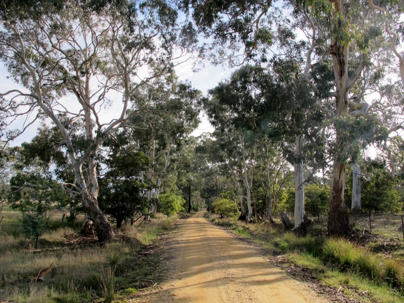
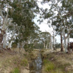
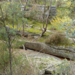
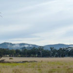
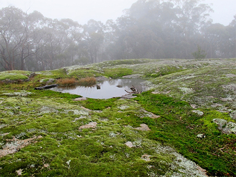
A solid group of walkers was guided by Jeremy Holland through some remote corners of Mount Alexander east on Sunday. The walk started with a pleasant stroll  along the water race, before angling up the mountain south of Aqueduct Creek: a reasonably strenuous ascent through lovely bushland [including some magnificent Red Gums and monumental granite boulders]. We returned along the Ballantinia Track. The walk was enhanced by a dense mist, which obscured possible views but more than made up for it by endowing the bush with an intriguingly mysterious air.

Is anybody there? Jeremy Holland and Lionel Guerin survey the mist.

Many thanks to Jeremy for navigating us through a route none of us had seen before, to corners of the Mount rarely visited. And our thanks to Coliban Water for permission to walk along this closed section of the race.

Part of the group negotiating the ridge through Manna Gum woodland south of Aqueduct Creek, ascending to Ballantiinia Track.

June’s walk will be led by Ian Higgins along Campbell’s Creek. Check the walks program on this website for details.

St John’s Wort is a terrible pest on the Mount, but on Sunday it hosted hundreds of picturesque spider webs, like this one. Photo: Dominique Lavie


More walk photos follow:

Continue reading

Posted in News | 1 Comment

What’s the Diggings Park good for?

Parks Victoria has released the results of its survey of users of the Castlemaine Diggings NHP.

There were 265 responses to the online survey. While such a voluntary survey has inbuilt problems of reliability, the results are probably a good indicator of public attitudes to the park.

The following details are worth reporting:

Hunts huts, Browns Gully, CDNHP: the recovering vegetation tells a story as eloquent as that of the ruins. It’s important that those presenting the Park to visitors acknowledge this fact.

‘Comparing the reasons for visiting to the frequency of visiting revealed that those who visit for ‘walking or hiking’ are the most frequent visitors, followed by those who ‘enjoy nature, birdwatching’, and ‘cycling, mountain biking’…

‘A key purpose of the online survey was to understand the importance of CDNHP to visitors. Looking at five implied values – aesthetic, historic, scientific, social, spiritual – ‘Historic’ values were the most commonly mentioned, followed by scientific/natural values and aesthetic values. ‘A place for prospecting’ was also an important value or activity associated with the park…

‘High priority overall was given to: tackling vandalism; reducing weeds; and addressing fire risk. The next highest priority actions were: information to help me find specific sites; better standard of access tracks; and restoration of specific structures. Other suggested management activities were: improved signage; interactive and digital interpretation; reducing weeds; and preventing disturbance from prospecting’…

In the ‘site walkovers’ organised by Parks, it’s worth noting that ‘Discussions referenced the ‘multi-layered’ landscape and a timeline of pre-gold rush Jaara landscape followed by the gold rush period and the post-gold era recovery. There were also references to tranquillity in the forest, bird-life, native flora and the importance of low-key ‘atmospheric’ sites requiring sensitive management.’

Parks has produced a set of direction themes as a result of the process:

Continue reading

Posted in News | Comments Off on What’s the Diggings Park good for?

FOBIF gears up for a Wattle guide

Spreading Wattle (Acacia genistifolia). Walmer, April 2017

FOBIF has undertaken the production of a field guide to local Acacias, modelled on its guide to local Eucalypts. Like the Eucalypt guide it will be directed at beginners, and will be generously illustrated with photos to help identification.

The project is a tribute to the work of the late Ern Perkins, a fundamental figure in field naturalist studies in this region for many decades. At the launch of the Eucalypt guide last September Ern, though in frail health, was heard to declare, ‘Now for a wattle guide.’ The current project will start from the many leaflets and guides Ern produced over the years.

The wattle project is financed by FOBIF, and supported by donations from Connecting Country and the Field Naturalists Club of Victoria. It is supported by Castlemaine FNC and local landcare and Friends groups.

We thank members for their generous donations this year.  These funds will go towards the development and publication of the Wattle guide

Publication is set for April 2018.

Hedge Wattle (Acacia paradoxa). Walmer, April 2017

Posted in News | 1 Comment

Roadsides: some questions

FOBIF has written to the Mount Alexander Shire asking for a meeting to discuss the Council’s plans on roadside vegetation [see our Post]

Our concerns relate to work in progress maps we have seen which seem to completely overlook some ecologically important roads in the shire.

The relevant parts of the letter follow:

‘We understand that Council is preparing a planning scheme amendment to insert a Vegetation Protection Overlay (VPO) on some roadsides into the planning scheme.  We congratulate the Council on this project which aims to protect some of the Shire’s valuable flora.

Faraday road: road reserves  ‘support a significant proportion of native vegetation in Victoria’s fragmented landscapes. [They] make a major contribution to ecological connectivity and in some landscapes provide key habitat for many species.’

‘However we are deeply concerned that the VPO mapping we have seen excludes many Shire roadsides with valuable flora, including Victorian-classified threatened species and locally rare species.

‘We have some questions about how the VPO has been planned, and the criteria for selecting roads, and so are requesting a meeting with the relevant Council staff to help us understand the methods used and to help get the best outcome for the project.  We think it would be useful to seek more input from other local environment groups, some of which have expert local knowledge of roadside flora.

‘From our previous experience with planning scheme amendments, we think it is vital to be able to have meaningful input before the amendment is exhibited, as once exhibited, any changes normally have to be re-exhibited.’

Of course, production of documents is one thing: they are only useful, however, if the material in them is persuasively presented to the public, and if council is prepared to follow up by paying close attention to what is actually happening on the roadsides. This is no easy task, of course.

This exercise is no trivial matter. Roadsides really do matter. As the Victorian Environment Assessment Council puts it: road reserves ‘support a significant proportion of native vegetation in Victoria’s fragmented landscapes. These linear reserves make a major contribution to ecological connectivity and in some landscapes provide key habitat for many species.’


Posted in News | 1 Comment

Launch of interpretive signage of Forest Creek

Project co-ordinator Jennifer Pryce explaining the project.

On Sunday 7 May more than thirty people gathered to launch some new interpretive signage of Forest Creek. Part of the signage design can be seen in the photo here taken at the Monster Meeting site and we encourage people to have a look at this and the other two other signage sites at Chinamans Point and Expedition Pass. A tremendous amount or work and community consultation has gone into this project with terrific results. 

You can find a full account of the launch and more photos on the Chewton net facebook page

Posted in News | Comments Off on Launch of interpretive signage of Forest Creek