Destructive “Salvage” Logging Escalates in Wombat State Forest
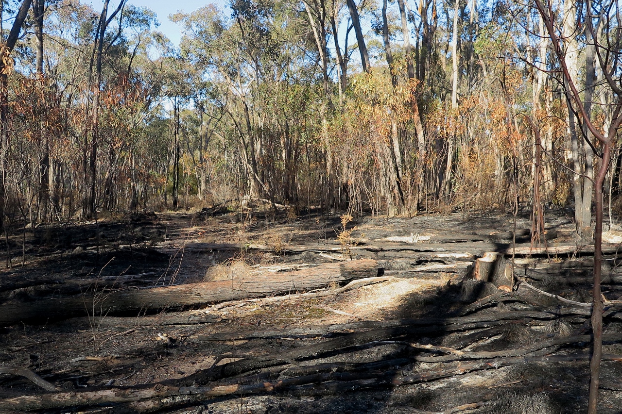
Large-scale removal of fallen trees from Wombat State Forest is accelerating under the false pretence of fire risk reduction—despite clear warnings from scientists and community groups. These environmentally damaging operations began with VicForests in 2022 and continue under Forest Fire Management Victoria (FFMV), with most of the trees sold as firewood.
This so-called “salvage” logging is destroying vital habitat, compacting soils, and wiping out young vegetation, all while failing to meaningfully reduce fire risk. Fallen logs are essential for forest health—providing shelter, supporting biodiversity, and retaining moisture in the landscape.
This is not fire prevention. It is ecological vandalism, masquerading as “fire management”.

We are now entering a critical window to ensure the State Government keeps its promise to legislate the Central West Parks — and your support is vital.
The VNPA has set up a template letter and you can add your extra bit demanding that Forest Fire Management Victoria halt this environmental destruction in Wombat State Forest.
VFA Hot Burns Update
FFMV Cowboys Lose Control — Twice — at Hepburn
In a spectacular display of mismanagement, fire authorities have confirmed they lost control of a 200-hectare planned burn at Hepburn Regional Park on Friday 11 April — and then managed to lose it again on Saturday 12 April.
After an all-hands emergency effort by CFA crews, helicopters, and planes finally brought Friday’s fire under control, FFMV according to CFA personnel, decided to “put more fire into it” the next day. As a result (unsurprisingly), the blaze escaped again, ballooning out to 300 hectares by Sunday 13 April.
Over 250 firefighters were thrown into the battle near Old Tom Track, south-west of Daylesford, once again cleaning up the mess left by FFMV’s cowboy operation.
As a worried local, impacted by the fire told us, “28 degrees in a sloping forest that’s ultra bone dry. What could possibly go wrong?”
This isn’t just bad luck — it’s a clear case of reckless fire management putting public safety at risk and burning precious bushland.

(Supplied: Maree Smith)
VFA Chuffed Fundraiser
We’re Over Halfway There – Thanks to You! Let’s Keep the Momentum Going!
We’re past the halfway mark — your support has been amazing! Now let’s smash our goal.The science is clear: planned burns don’t stop wildfires — they can make forests more flammable.
We’re fighting for a safer, smarter approach to bushfire risk. Help us push the Victorian Government to act!
Visit our STOP PLANNED BURNS page — and chip in if you can!

You can also donate directly to VFA’s bank account. Please use “stop planned burns” as the reference.
Name: VICTORIAN FOREST ALLIANCE INC
BSB: 633000
Account number: 187933262
We’re urging the government to increase funding for rapid detection and response capability, so that small fires are put out before they become large. This is already an effective strategy. Over this summer, more than 9 in 10 Victoria’s fires were contained as a result of the first attempt at suppression. And we can do this better.
Sign the Petition: Stop Broadscale Burning of Native Forests
Every year, thousands of hectares of precious bushland are deliberately burned — far from towns — causing massive CO₂ emissions, killing wildlife, poisoning waterways, and damaging human health.
Worse still, science shows these burns don’t reduce bushfire risk — they can actually make forests more flammable for decades to come.
Mature, healthy forests are naturally more fire-resistant. It’s time to protect them — and us — by stopping broadscale burning and investing in smarter, safer fire management.
Add your name to the petition calling on Environment Minister Steve Dimopoulos to end this destructive practice. And please share!


 Click on image for info/order page
 Click on image for info/order page
 Click on image for info/order page

")


")


