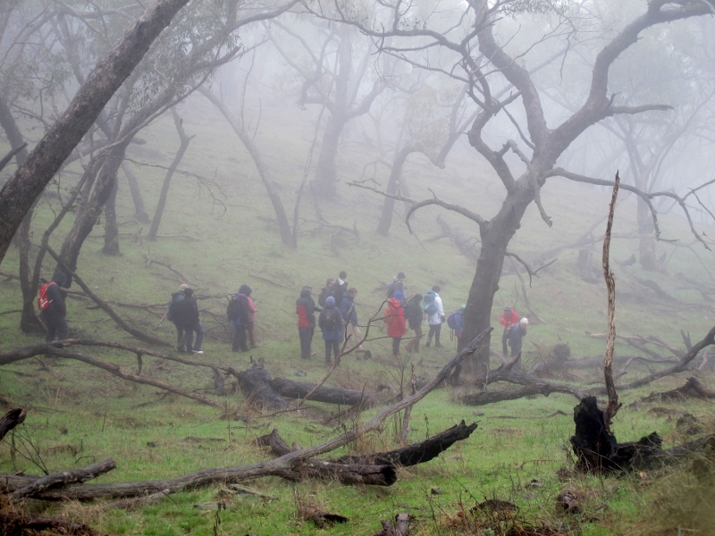
Twenty five walkers led by Jelsje Veenstra took on a cold and misty Mount Tarrengower on Sunday the 21st. They missed out on some great views because of the limited visibility, but got a good look at the Mountain’s heritage qualities.

FOBIF walkers on a wintry Tarrengower: what the mountain loses in views, it gains in atmosphere. DEPI has changed its burning regime on the south side of the Mount to 'maintain species resilience'.
This section of the mountain is scheduled to be burned by DEPI next autumn. In last year’s Fire Operations Plan the whole of the summit area and surrounds was zoned 1, Asset Protection, to protect the township of Maldon. In our response to the Fire Operations plan last year we argued as follows:
‘This is a very large parcel for a Zone 1 burn—as far as we can see, more than double the area of any other Zone 1 in our district. It’s very hard to see why it has been zoned in this way. While it is clear that bushland abutting the town needs careful fuel management, it’s by no means clear why the south side of the Mount needs high intensive fuel reduction, especially since the area around the Tower was burned in 2009.’
In the draft Plan tabled at the July 15 information session in Bendigo the Mountain has in fact been rezoned to ‘ensure that the more ecologically sensitive eastern slopes of Mt Tarrengower are preserved from frequent fuel reduction burning to maintain species resilience.’ FOBIF has not seen the maps of the rezoned sections yet.


 Click on image for info/order page
 Click on image for info/order page
 Click on image for info/order page


