An expedition through time

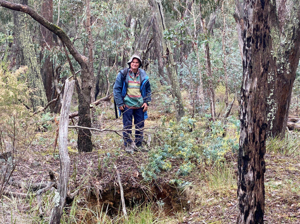
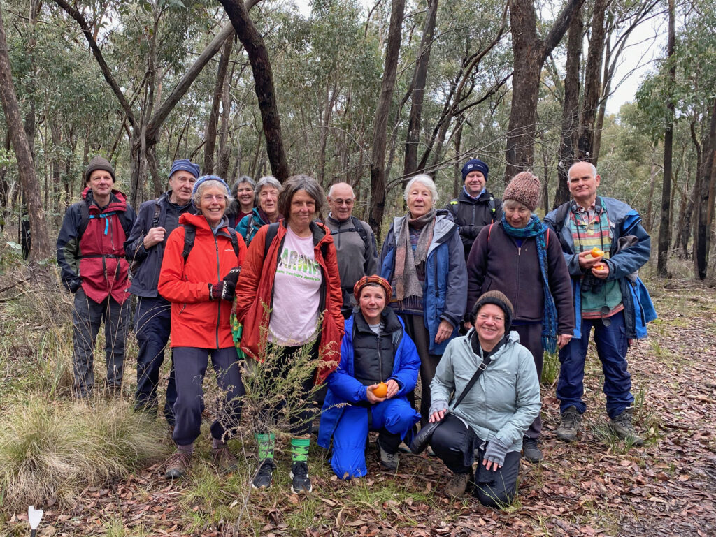
A good group braved the chill to walk along Forest Creek yesterday. Led by Marie Jones, the walk started at the Monster Meeting site and walked north along the track to Expedition Pass Reservoir (through Castlemaine Diggings NHP). Pauses were taken along the way to hear about the rich history of the track from Marie, including the mammoth work undertaken by Golden Point Landcare over many years managing weed control and revegetation.

Frances briefs the group on changes to the creek since colonisation. Photo: Asha Bannon

Frances Cincotta shared her knowledge of native plants and spoke of the changes to the area since colonisation. Sightings of hybridised Silver/Cootamundra Wattle sparked conversations on the importance of planting species which are indigenous to the area, so we don’t lose what is unique to our Box-Ironbark Forests.

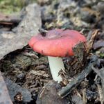
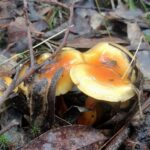
We were treated to an array of birdlife along the way, including Gray Fantails, Striated and Yellow Thornbills, and Golden and Rufous Whistlers. And one didn’t have to look far off the path to spot fungi – including some growing in a pile of horse manure.

A big thanks to Marie and Frances, as well as to Christine for leading the return walkers back to the Monster Meeting site.

To give an idea of how things have changed, check out the photos below. Here’s the Res in 1878:

Expedition Pass in 1878, ten years after the construction of the reservoir. The stripped land tells a story…

And here’s that hill today:

Walkers on the dam, May 2024. Photo: Joy Clusker


Posted in News | 2 Comments

Coliban channel walk is now a fire zone

Users of FOBIF’s guide to Twenty bushwalks in the Mount Alexander region should be aware that the amenity of Walk 13 has been affected by this year’s Management fire. The section of this walk between Old Coach Road and Dearden Track is mostly through burned bush, not necessarily a pleasant experience, especially since the fire has caused extensive canopy scorch. On the other hand, you might find it an enlightening experience to take the walk, to puzzle over the nature and effectiveness of Department practices. In any case, it’s to be hoped that the zone will green up between now and spring.

From Salt Water track. Canopy scorch has been severe in large sections of this zone.

The fire, CAS 629, centred on Salt Water track, and covering 134 hectares, was lit on April 23. It was categorised as Bushfire Moderation zone, the intention of which is to ‘manage fuel to reduce the speed and intensity of bushfires, and to protect nearby assets, particularly from ember attack.’ This kind of exercise, we are told, is also intended to ‘support ecosystems which require fire to remain healthy.’

As to the fire protection value of these burns, readers might want to check the Post below recording FOBIF’s discussions this year about reduction burning. As to the ‘ecosystems which require fire to remain healthy’, we are sceptical of this claim, for two main reasons.

Fire and ecology

Firstly, unlike traditional owner burns, these fires are too extensive to be sensitive to local ecological variation. In the present case, for example, we noticed several areas where patches of the rare Fryerstown Grevillea had been burned. Is this helping the system to stay healthy? The only way we could know is by seeing monitoring of this plant’s reactions to fire, and we don’t believe such monitoring takes place.

One of many burne patches of the rare Fryerstown Grevillea near Dearden Track. We believe these fires are too extensive for any significant control over ecological effects to be possible. And if they’re not possible, why are they claimed?

Secondly, almost every exercise of this nature which we’ve seen has resulted in the felling of large old trees, and this one is no exception. These trees are rare, and very important as habitat. It is not Department policy to destroy them, but the areas they’re burning are too large for them to be able to control what happens in the burn zone.

Very large eucalypt felled by the fire. Everyone agrees it’s not good that such trees are destroyed…but it keeps happening.

We could add that this area of the forest has some extensive patches of dense and flammable weeds. One such, a large infestation of gorse,  is on the margins of the current burn zone. Maybe an effort to get rid of them would ‘improve ecological health’ and reduce forest flammability?

Posted in News | Comments Off on Coliban channel walk is now a fire zone

Some less depressing stuff

As we’ve noted before, it’s worth taking a prowl around Department burns, just to observe what happens in the aftermath of a fire. Of course, you need to be careful: as we’ve pointed out, these fires tend to make trees prone to fall over, so it’s worth being super observant.

Fire fungus near Dearden Track. It looks like burning coal, but is smooth and cool to the touch, and is thought to have a repair function in burned ground.

One interesting post fire phenomenon is the outbreak of fire fungus, Pyronema omphalodes. There’s quite a bit near the junction of Dearden Track and the water race. It’s a fascinating life form, and worth brooding over:

In addition: readers may remember that we complained to Coliban Water last year about the spraying of the water race verges, which completely destroyed large areas of several pea species, including Purple Coral Pea and Trailing Shaggy pea. The authority was completely unable to explain this exercise in pointless vandalism. Fortunately some of these plants have made a partial recovery, and we may yet get some good flower displays along the race in spring.

Posted in News | 1 Comment

FOBIF’s May walk: to the Res and back

Our May walk next Sunday starts at the Monster Meeting site on Golden Point Road and follows the Forest Creek Track from Chewton to Expedition Pass Reservoir (Castlemaine Diggings National Heritage Park). We’ll meet at the Community House as usual to car pool, and pick up extra participants at the Chewton Post Office on the way to the starting point. See the program for details!

Posted in News | Comments Off on FOBIF’s May walk: to the Res and back

Stunning walk along the Loddon

Photo by Dominique Lavie

Walking north along the eastern bank of the Loddon River near Baringhup through stunning redgum trees on a beautiful sunny day, a sizable group heard stories of geology, Indigenous occupation, farming, hydrology, architecture, and natural history. Contributions to these stories were from the local farmers Kerrie and Rob Jennings, cultural historian and geologist, Barry Golding, and naturalist, Frances Cincotta. Sunday’s FOBIF walk was led by Gen Blades, Lisa Hall, Phil Robertson & Lesley Hodgson as part of a larger project of Walking the Loddon. 

Photos by Lisa Hall

Photos by Joy Clusker

Our next FOBIF walk along Forest Creek will be led by Marie Jones. Check our walks page for more information.

Posted in News, Walks | 1 Comment