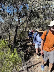
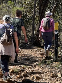
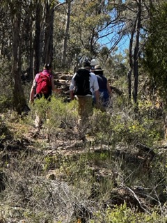
We were treated to spring sunshine as we followed paths and tracks on the south side of
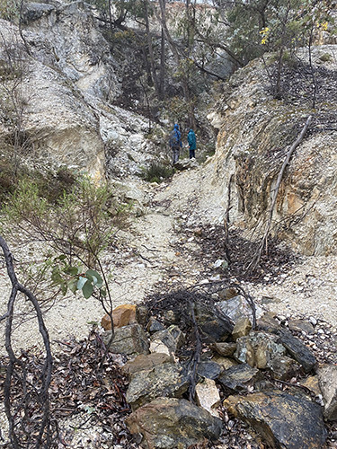
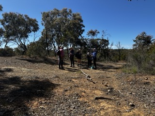
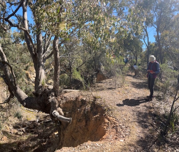
Castlemaine. The remains of the Ajax gold mine were evident in the first section of the walk. Standing at the entrance to a tunnel, a draft of cool air and darkness provided a sense of the scale of tunnelling in pursuit of gold along major quartz seams. On the surface of the ground, tall mullock heaps stood out with their rocky pyramid profiles. With care, we walked along a razorback style track where an enormous rocky canyon dropped off steeply, another sign of the diggings for gold.
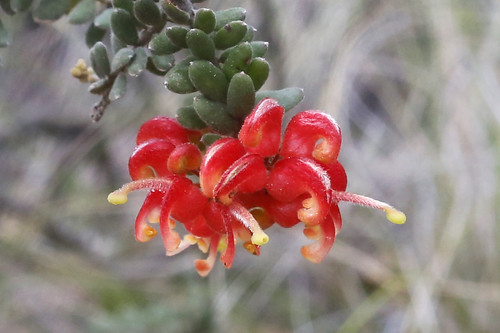
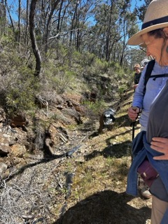
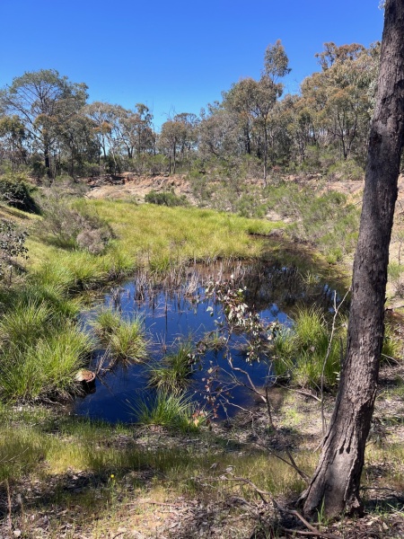
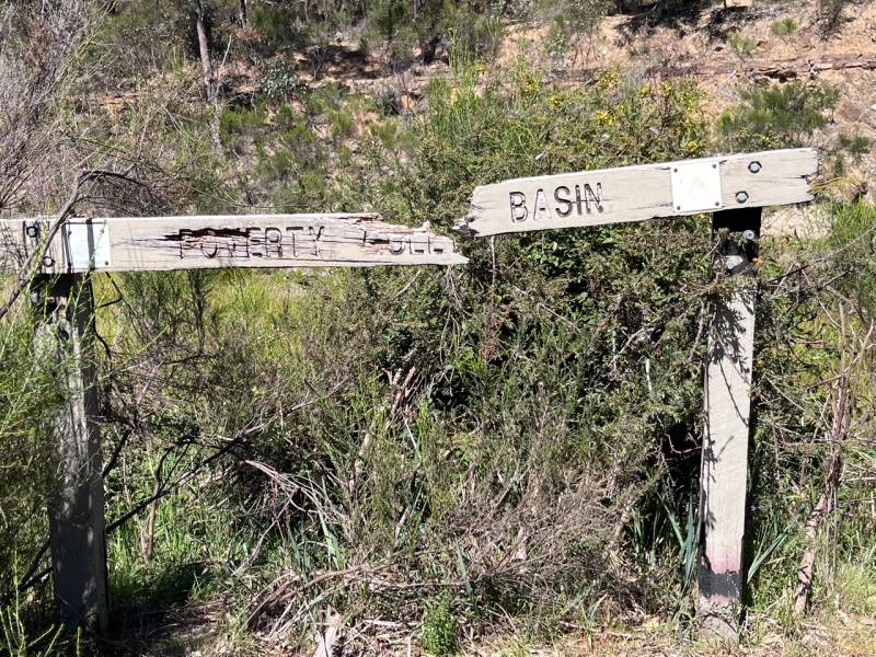
Not to be outdone by the mining infrastructure, a good display of a range of wildflowers was present along the sides of tracks and water channels. Chocolate lilies, sticky everlastings, peas and yam daisies. A solo bearded orchid was also observed! It was worth the effort of walking up a gradual incline to arrive at Poverty Gully Reservoir. This water feature was a pleasant stop for lunch and much discussion occurred about where water would have come from and where it then flowed. After lunch, it was a gentle descent to return to the peri urban area where we were treated to a view of Victoria Gully and the work that the local neighbourhood Landcare group has done. Refer to A potted history of Victoria Gully by Barb Gruen. Castlemaine has many ‘gems’ of nature close to town, and this is one of them. Thanks to Kevin Cato for planning the walking route, and the assistance from Barb and Lionel Gruen on the walk, who shared their local knowledge.
Gen Blades


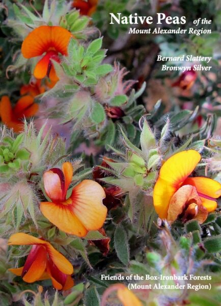
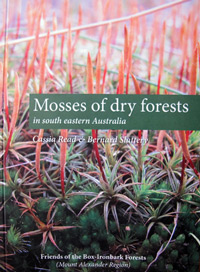 Click on image for info/order page
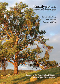 Click on image for info/order page
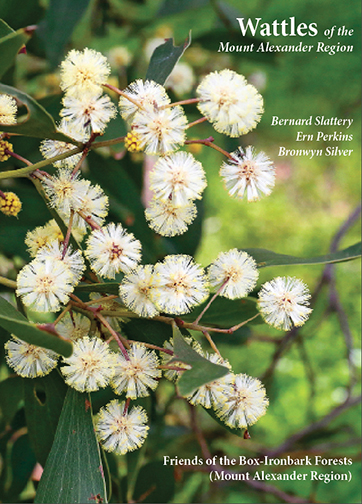 Click on image for info/order page